


Cloud Absorption Radiometer (CAR)
The Cloud Absorption Radiometer (CAR) is an airborne multi-wavelength scanning radiometer that can perform several cloud and surface measurement functions.
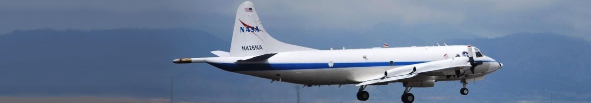
CAR will fly in 2022-2025 for the NASA’s Student Airborne Science Activation (SaSa) project. GSFC scientists and engineers will operate CAR together with 12-13 students on P-3B, to take cloud, aerosol, and surface measurements from multiple angular views. The multi-angle observations are critical to characterize and understand scattering light properties of these different targets.
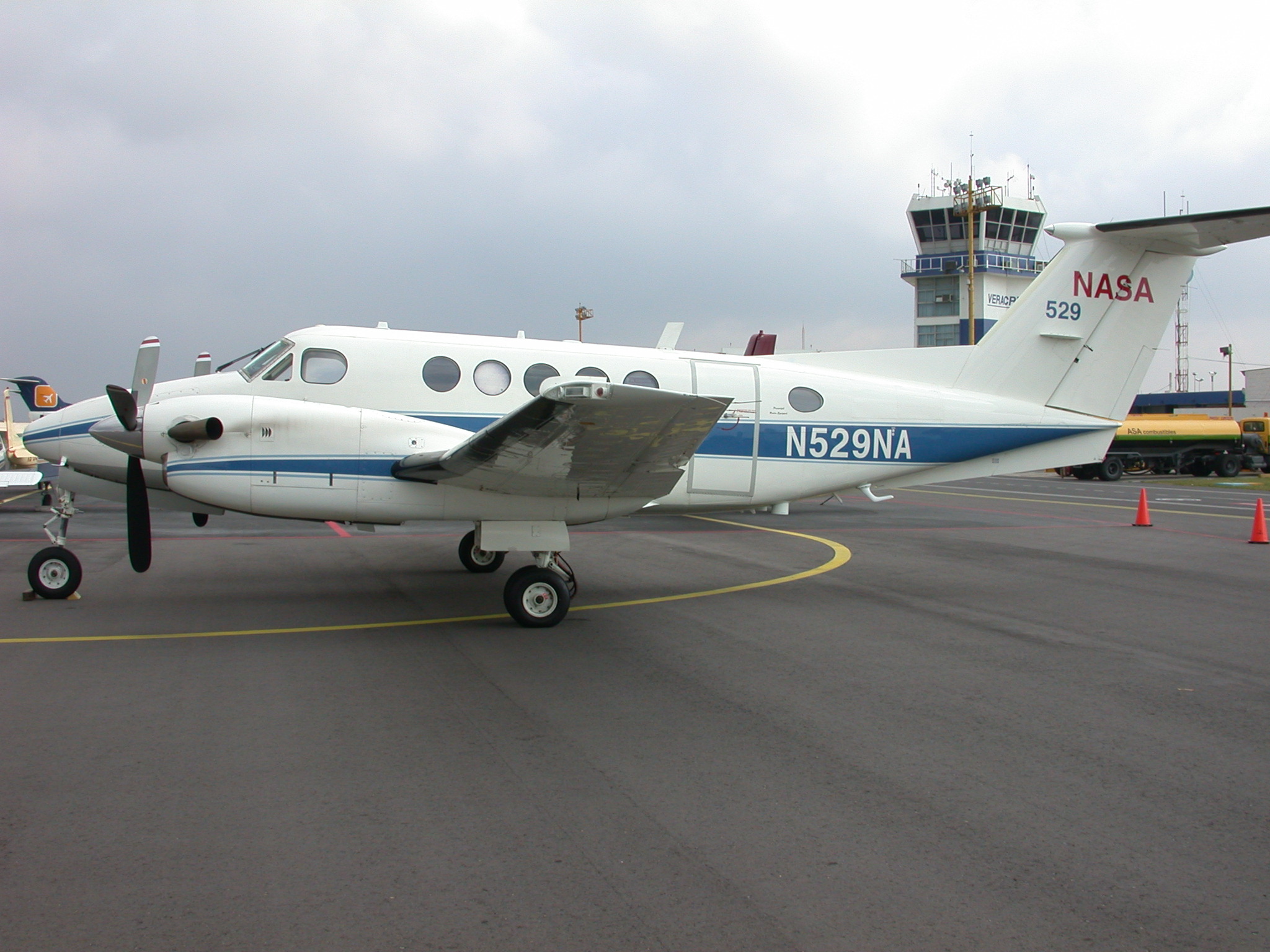
CAR was designed to operate from a position mounted on various aircraft. Prior to 2002 the CAR flew aboard the University of Washington’s aircraft (Douglas B-23: 1983-1984, C-131A: 1985-1997 and Convair CV-580: 1998-2001). Following retirement of the UW aircraft, the CAR has been integrated on two other Aircraft platforms: South Africa Weather Service, Aerocommander 690A (wing mount, June 2005) and Sky Research inc. (USA) Jetstream 31 (nose mount, February 2006- June 2007). It was integrated on NASA’s P-3B in Jan-Mar 2008.
In addition to its traditional starboard viewing mode, the CAR instrument can be operated in any viewing mode and can be switched during flight.
CAR has been deployed on a regular basis in field campaigns around the world including deployments to Alaska, Brazil, Kuwait, Mexico, Portugal (Azores), the continental U.S., and various countries in southern Africa. During a typical research field campaign, the CAR is flown in concert with an array of cloud microphysics, aerosol, atmospheric chemistry, general meteorological instruments and radiation. CAR will continue to be operated on airborne platforms to acquire multiangular and multispectral observations suitable for satellite validation strategies in many parts of the world.
The CAR instrument was developed at NASA’s Goddard Space Flight Center by Dr. Michael King. The current Principal Investigator is Dr. Charles Gatebe.