2008-04-06 (Flight #2001) |
Flight Photo Album |
Aircraft Flight SummaryDate: 2008-04-06 |
Flight Track Map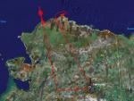
Larger image (new window) Download KMZ/KML File (right click, save as) |
Satellite Image from MODIS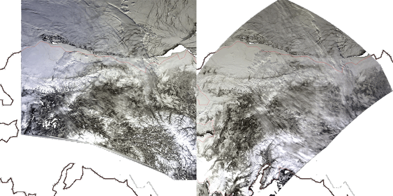
MODIS/Terra larger image (morning) (new window) MODIS/Aqua larger image (afternoon) (new window) |
Satellite Images from GOES-11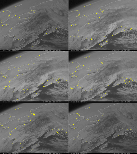 1915 - 0245 UTC |
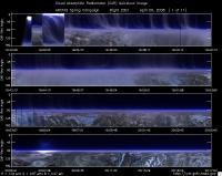
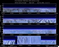
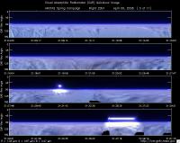
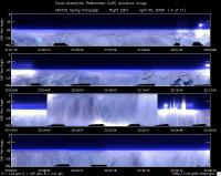
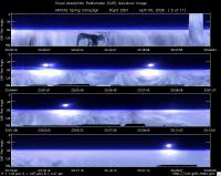
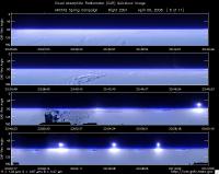
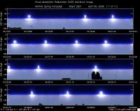
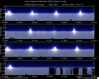
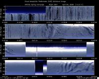
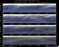
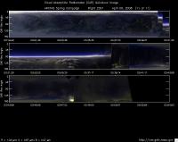
CAR - (QuickLook)
Imagery from CAR Instrument
Click browse image thumbnail to load more detailed version (images open in a new window)
| Flight Direction | Flight Direction |
|
|
|
|
|
|
|
|
|
|
|
|
|
|
Flight Mission Details
Overview:
This was the 1st flight out of Alaska. Preflight goals included flying below CALIPSO track, spirals under CALIPSO track with NASA B-200, high and low legs for radiometer measurements and CAR BRDF circles over Elson Lagoon.
P-3B instrument payload:
AATS: Ames Airborne Tracking Sunphotomter (AATS) measured direct solar beam transmission at 14 wavelengths between 354 and 2139 nm in narrow channels with bandwidths between 2 and 5.6 nm for the wavelengths less than 1640 nm and 17.3 nm for the 2139 nm channel. Issues reported: lost tracking especially during BRDF circles.
AERO3X: measured aerosol extinction and scattering at 405 nm
and 675 nm, scattering in Forward and Back directions at both wavelengths and NO2 mixing ratio. Dirty mirror problems reported. Mirrors cleaned 3 times during the flight.
BBR: Broad Band Radiometer measured: Down- and Up-welling
Solar (0.2-3.6 µm) and IR Irradiance (4.2-42 micron). Lost 5 min of data due to computer glitch.
CAR - Cloud Absorption Radiometer measured angular distribution of scattered radiation and acquired imagery of cloud and snow/ice surface features.
CCN Counter - Continuous-Flow Streamwise Thermal Gradient Cloud Condensation Nuclei (CCN) Counter (CFSTGC) - counted the fraction of aerosol particles that become droplets when exposed to a given water vapor supersaturation (RH > 100%). Worked well entire flight.
COBALT - Carbon monOxide By Attenuated Laser Transmission (COBALT), an autonomous instrument based on off-axis integrated cavity output spectroscopy took measurements of carbon monoxide. Reported current supply dropout in turbulence. Also reported high CO ~370 ppb early in the mission.
HiGEAR - Hawii Group for Environmental Aerosol Research (HiGEAR) suite of instruments measured size resolved aerosols. Least successful flight so far. Sampled cabin air on climbout. SP2 not recording at first (operator error).
PDS Project Data System (PDS) measured base meteorological and navigational measurements. No issues reported.
REVEAL - The Research Environment for Vehicle-Embedded Analysis on Linux (REVEAL) system is a prototype next-generation tool for aerospace vehicle sensor webs and the future Earth Observation System. The new system was under test. Displayed some maps. RTMM in limited form.
SSFR -Solar Spectral Flux Radiometer measured spectrally resolved solar irradiance (380 nm to 2200 nm) over snow/ice and clouds. No issues reported.
Flight Path, Timing, and Measurements
Approximate time in UTC (Alaska time - 8 hours). Activities during CAR flight 2001 on April 6 (and continuing on to April 7), 2008 out of Fairbanks International Airport, Alaska heading north towards Barrow. Observations by CAR operator/PI, Charles Gatebe.
19:15 -- Engine on
19:20 -- Taxing
19:25 -- Takeoff (19:29 UTC per flight scientist report/Phil Russell. Mission manager/Cate Fairchild reported timeout of 19:23 UTC. )
19:27 -- CAR instrument power on
19:47 -- surface reflectance looks flat. Thin cloud below aircraft.
19:48 -- CAR heaters turned on. Navigation temp reading ~-5.38 deg C.
19:52 -- took a picture (see pictures taken during this flight)
19:55 -- haze layer towards the horizon
19:57 -- Nav temp -12.28 deg C. Going over mountain range/rugged terrain.
20:05: cloud below. Rainbow seen. Alt. 6859 m. msl. UV channels show strong signal.
20:26 -- flying over gorgeous mountain ranges
20:34 -- descending through a haze/pollution layer
20:36 -- cycling through CAR filter wheel channels. lowest signal seen at 2.3 microns and 2.1 microns channels. UV signal is isotropic.
21:00 -- CAR scanning the surface from horizon to horizon perpendicular to the flight track.
21:01 -- CAR scanning in the starboard from zenith to nadir.
21:22 -- going to higher altitude ~ 7924 m msl.
21:35 -- Filter wheel set to 1.6µm. Count ~12422. Difficult to distinguish between snow and clouds. Gravity waves seen over clouds though. Set filter wheel to 1.7µm. Count ~12803. Set filter wheel to 2.1µm. Count ~12863. Cloud --seem brighter in the IR channels. Snow is relatively dark.
22:09. Cloud reported by B-200/King Air at ~600 m and ~1200 m, and aerosol layer at ~7300 m msl.
22:11 -- strong signal in UV. Count ~16000.
22:17 -- CAR scanning the surface from horizon to horizon perpendicular to the flight track.
22:25 -- CAR scanning in the starboard from zenith to nadir.
22:35 -- very strong scattering in the UV. MISR overpass.
22:38 -- on the CALIPSO track. Ready to perfom circular spiral ascent.
22:41 -- signal saturation at 0.47µm.
22:43 -- snow/sea ice scenes very interesting. Check data 18000-19000 counts. Seen a radio tower ~ 121 m tall.
23:46 -- Nav temp. ~19.30 deg C. End of CALIPSO track. Heading to Elson Lagoon for BRDF measurements.
23:58 -- Circling over Elson Lagoon. AOD ~0.06 @0.499µm. B-200 above.
00:17 -- Circle 1 BRDF at 1828 m msl. Filter wheel at 2.2µm.
00:20 -- Circle 2 BRDF at 1828 m msl. Filter wheel at 2.2µm.
00:22 -- Circle 3 BRDF at 1828 m msl. Filter wheel at 2.2µm.
00:25 -- Circle 4 BRDF at 1828 m msl. Filter wheel at 1.6.µm. AOD~ 0.06-0.07 @0.499µm.
00:31 -- Circle 5 BRDF at 1828 m msl. Filter wheel at 1.6.µm.
00:34 -- Circle 6 BRDF at 1828 m msl. Filter wheel at 1.6.µm.
00:39 -- Alt. ~600 m msl. Straight & level leg done.
00:48 -- Circle 1 BRDF at 600 m msl. Filter wheel at 2.2µm.
00:51 -- Circle 2 BRDF at 600 m msl. Filter wheel at 2.2µm.
00:54 -- Circle 3 BRDF at 600 m msl. Filter wheel at 2.2µm.
00:58 -- Circle 4 BRDF at 600 m msl. Filter wheel at 1.6.µm. AOD~ 0.08 @0.499µm. Dust reported by HiGEAR. Contrail reported.
01:01 -- Circle 5 BRDF at 600 m msl. Filter wheel at 1.6.µm.
01:05 -- Circle 6 BRDF at 600 m msl. Filter wheel at 1.6.µm.
01:08. changing altitude to 200 m msl for the third set of BRDF circles.
01:15: AOD ~0.1 @0.499µm. Significant aerosol gradient from upper to lower layers, west of Barrow.
01:17 -- leveled at 200 m msl.
01:18 -- Circle 1 BRDF at 200 m msl. Filter wheel at 2.2µm.
01:21 -- Circle 2 BRDF at 200 m msl. Filter wheel at 2.2µm.
01:24 -- Circle 3 BRDF at 200 m msl. Filter wheel at 2.2µm.
01:27 -- Circle 4 BRDF at 200 m msl. Filter wheel at 1.6.µm. AOD~ 0.08 @0.499µm. Dust reported by HiGEAR. Contrail reported.
01:30 -- Circle 5 BRDF at 200 m msl. Filter wheel at 1.6.µm.
01:33 -- Circle 6 BRDF at 200 m msl. Filter wheel at 1.6.µm. Ends at 01:37 and AOD ~0.1 at 0.499µm.
01:39 -- over ocean at 50 m msl. Signal very low over ocean.
01:53 -- CAR scanning the surface from horizon to horizon perpendicular to the flight track.
02:02 -- leaving 50 m msl and going higher. Low level cloud seen. Count is 39390.
02:11 -- CAR scanning in the starboard from zenith to nadir.Tested active roll correction software for 5 minutes. Software failed.
02:20 -- CAR scanning the surface from horizon to horizon perpendicular to the flight track.
02:42 -- low level cloud below. Flying at 7850 m msl.
03:32 -- Nav temp ~-29 deg C.
03:33 -- Over clouds.
03:41 -- CAR scanning the sky from horizon to horizon in preparation for landing.
03:55 -- landed. CAR door closed. Instrument power off.
