2008-07-10 (Flight #2022) |
Flight Photo Album |
Aircraft Flight SummaryDate: 2008-07-10 |
Flight Track Map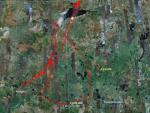
Larger image (new window) Download KMZ/KML File (right click, save as) |
Satellite Image from MODIS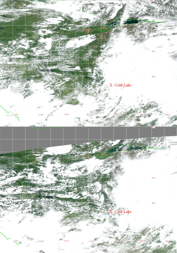
MODIS/Terra larger image (morning) (new window) MODIS/Aqua larger image (afternoon) (new window) |
Satellite Images from GOES-11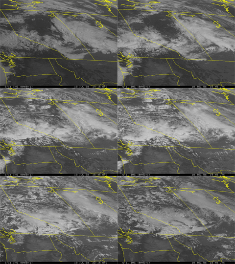 1415 - 2346 UTC |
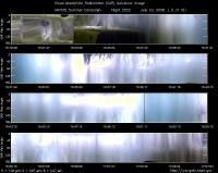
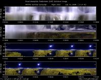
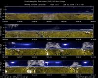
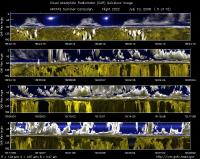
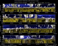
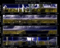
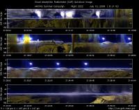
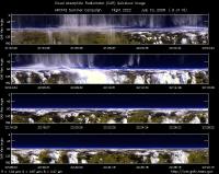
CAR - (QuickLook)
Imagery from CAR Instrument
Click browse image thumbnail to load more detailed version (images open in a new window)
| Flight Direction | Flight Direction |
|
|
|
|
|
|
|
|
|
|
|
|
|
Flight Mission Details
Overview:
This was the ninth flight out of Cold Lake, Canada. Science goals include:1) TERRA-MISR underpass (17:51 UT) over Reindeer Lake in aged plumes, 2) Coordination with B200 for CALIPSO underpass (19:38 UT) in Athabaska fire plume, 3) Stacked radiation closure in plumes along CALIPSO track, 4) Validation of COAMPS predictaded Athabaska plume direction and intensity, 5) Validation of model predicted long range transport over southern Saskatchewan, 51N.
P-3B instrument payload: (no available instrument reports)
AATS: Ames Airborne Tracking Sunphotomter (AATS.
AERO3X: Partially successful.Main AERO-3X instrument absent. Good data for relative humidity system.
BBR: No problems reported.
CAR - Cloud Absorption Radiometer measured angular distribution of scattered radiation and acquired imagery of cloud, smoke, and surface. Filter wheel channel occasionally unstable.
CCN Counter - Continuous-Flow Streamwise Thermal Gradient Cloud Condensation Nuclei (CCN) Counter (CFSTGC) -No problems reported.
COBALT - Carbon monOxide By Attenuated Laser Transmission (COBALT), an autonomous instrument based on off-axis integrated cavity output spectroscopy. Collected good data. Inlet problem solved.
HiGEAR - Hawii Group for Environmental Aerosol Research (HiGEAR) suite of instrument. Excellent flight. AMS had computer crashes - twice.
PDS Project Data System (PDS) measured base meteorological and navigational measurements. Fully operational.
REVEAL - The Research Environment for Vehicle-Embedded Analysis on Linux (REVEAL) system is a prototype next-generation tool for aerospace vehicle sensor webs and the future Earth Observation System. Operational the whole flight.
SSFR -Solar Spectral Flux Radiometer. Reported good data.
Summary (Colleen Kelly, 10 July 2008):
A partially successful flight. The most important objective, the DC-8 intercomparison, was executed at two altitudes. However, air was very clean at both altitudes, so the range of measured values is small. Because of clouds at the planned location, the location was repositioned to the west, which delayed the intercomparison. The lower intercomparison leg was further delayed when the DC-8 broke off to sample Ft. McMurray air between the two legs. Because of the delays and the westward repositioning, insufficient time remained to attempt our
remaining objectives at Churchill and Hudson Bay. Instead, we conducted:
1. Back & forth legs to determine true air speed correction
2. Cloud edge work below & above clouds
3. Sampling of Ft. McMurray air
3. Sampling of the Camsell & Victor fires North of Lake Athabasca.
The fires were some of the largest sampled by the P-3 in ARCTAS, producing the highest CO value measured, 12 ppm. Also AOD up to 4.
Flight Path, Timing, and Measurements
Approximate time in UTC ( Local Edmonton/Cold Lake time: -6 hours). Activities during CAR flight 2022 on July 10, 2009 out of Cold Lake, Canada. Observations by CAR operator/PI, Charles Gatebe.
15:25 -- CAR door opened manually. Because of drizzle, instrument set to 120 deg.
15:32 -- CAR and CANS power on.
15:45 -- engines on.
15:51 -- taxing. Waiting for clearance.
16:24 -- take off.
16:27 -- inside cloud.
16:31 -- in diffusion domain.
16:33 -- approx diffusion domain conditions.
16:35 -- out of diffusion domain. Alt. 4.8 km.
16:41 -- approx diffusion conditions. Alt. 5.2 km.
16:49 -- still in clouds.
17:01 -- approx diffusion domain. Can see solar disk through clouds. Alt. 5.19 km.
17:03 -- diffusion domain; but sometime the sun breaking through.
17:07 -- cloud above thinning.
17:13 -- sun is now shinning brightly. Thick cloud below.
17:22 -- beginning to see ground.
17:33 -- AOD 0.018 in cloud-free conditions.
17:38 -- circling over one location. (reverse direction of BRDF).
17:41 -- AOD 0.018. Could be compared with aeronet measurements at Ft. McMurray.
17:47 -- still doing circles in cloud free region.
17:49 -- finished doing left-hard circles.
17:51 -- flying straight and level.
17:53 -- DC-8 inter-comparison.
18:02 -- tip-to-tip inter-comparison in progress.
18:08 -- inter-comparison in progress.
18:10 -- start descent.
18:15 -- AOD 0.019. Alt. 4 km.
18:18 -- spiraling down.
18:27 -- circling one location waiting for DC-8 to rejoin in 10 min. Alt. 3.4 km.
18:32 -- still waiting for DC-8.
18:47 -- still orbiting same location and waiting for DC-8. Alt. 3.7 km.
18:50 -- end of holding pattern.
18:53 -- descent start.
18:57 -- DC-8 inter-comparison. Ascending.
19:02 -- inter-comparison in progress. Alt. 901 m.
19:16 -- end of inter-comparison.
19:18 -- reverse the course and go for a cloud experiment.
19:24 -- cloud experiment in progress.
19:31 -- true air speed (horizontal) wind correction test.
19:36 -- reverse course.
19:46 -- end of air speed test. Setting up for in cloud experiment.
19:47 -- penetrating through clouds. Alt. 2.6 km.
19:49 -- penetrating clouds.
19:50 -- ascending to fly above clouds.
19:57 -- end of above cloud radiation work.
20:09 -- Tar Sands.
20:15 -- end of Tar sands expt.
20:17 -- heater turned on.
20:23 -- going through clouds.
20:28 -- filter wheel channel noisy.
20:53 -- plume penetration.
20:56 -- fire plume below. Athabaska fires.
20:59 -- going through fire B.
21:05 -- out flow region.
21:12 -- over small fires.
21:15 -- plume penetrationl Cloud below.
21:20 -- plume penetration
21:29 -- AOD 0.35.
21:31 -- 2.1 micron unstable.
21:37 -- end of spiral. Heading home.
21:49 -- Lake Athabaska and the tar sands.
22:17 -- on transit to Cold Lake.. Alt. 7.2 km; broken clouds below and clear sky above.
22:54 -- descending to Cold Lake.
23:03 -- CAR door closed.
23:04 -- going through rain shower.
23:08 -- landing.
