2008-07-12 (Flight #2023) |
Flight Photo Album |
Aircraft Flight SummaryDate: 2008-07-12 |
Flight Track Map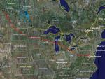
Larger image (new window) Download KMZ/KML File (right click, save as) |
Satellite Image from MODIS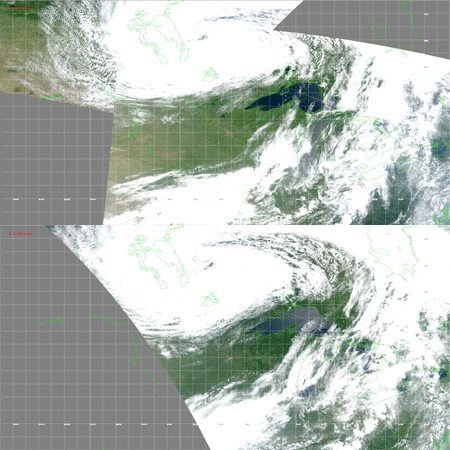
MODIS/Terra larger image (morning) (new window) MODIS/Aqua larger image (afternoon) (new window) |
Satellite Images from GOES-12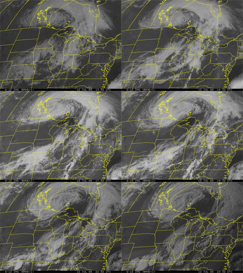 1302 - 2332 UTC |
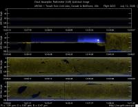
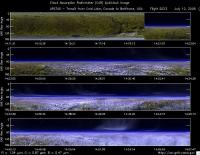
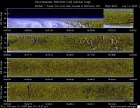
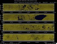
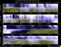
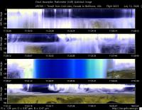
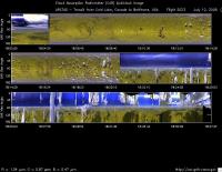
CAR - (QuickLook)
Imagery from CAR Instrument
Click browse image thumbnail to load more detailed version (images open in a new window)
| Flight Direction | Flight Direction |
|
|
|
|
|
|
|
|
|
|
Flight Mission Details
Overview:
This was the tenth and last flight out of Cold Lake, Canada transiting back home. Science goals include:1)Transit, Cold Lake-BWI-Wallops, 2) Sample and/or underfly pollution en route, 3) Anything else?
P-3B instrument payload: (no available instrument reports)
AATS: Ames Airborne Tracking Sunphotomter (AATS.
AERO3X: Partially successful.Main AERO-3X instrument absent. Good data for relative humidity system.
BBR: No problems reported.
CAR - Cloud Absorption Radiometer measured angular distribution of scattered radiation and acquired imagery of cloud, smoke, and surface. Filter wheel channel occasionally unstable.
CCN Counter - Continuous-Flow Streamwise Thermal Gradient Cloud Condensation Nuclei (CCN) Counter (CFSTGC) -No problems reported.
COBALT - Carbon monOxide By Attenuated Laser Transmission (COBALT), an autonomous instrument based on off-axis integrated cavity output spectroscopy. Collected good data. Inlet problem solved.
HiGEAR - Hawii Group for Environmental Aerosol Research (HiGEAR) suite of instrument. Excellent flight. AMS had computer crashes - twice.
PDS Project Data System (PDS) measured base meteorological and navigational measurements. Fully operational.
REVEAL - The Research Environment for Vehicle-Embedded Analysis on Linux (REVEAL) system is a prototype next-generation tool for aerospace vehicle sensor webs and the future Earth Observation System. Operational the whole flight.
SSFR -Solar Spectral Flux Radiometer. Reported good data.
Summary (Colleen Kelly, 12 July 2008):
A successful flight. The most important objective, the transit, was executed primarily at altitudes above 7 km. However, the P-3 descended to a minimum altitude of 3.7 km over North Dakota, with an intermediate level leg at 4.65 km during the descent, and another level leg at 5.8 km on the subsequent ascent over Minnesota. In general, the sampled air was very clean, with AATS-14 AODs at 520-nm < 0.01. In-situ measurements indicated… However, during an apparent cloud-free ascent from 5.8 to 6.5 km over central Minnesota, AATS-14 measured an increase in AOD from 0.01 to 0.04 over a 3-min time period, followed by a decrease back to <0.01 over the next 2.5 min. Extensive cirrus was encountered from central Wisconsin eastward, and no useful AATS data were acquired.
Flight Path, Timing, and Measurements
Approximate time in UTC ( Local Edmonton/Cold Lake time: -6 hours). Activities during CAR flight 2023 on July 12, 2009 out of Cold Lake, Canada to Baltimore, Maryland. Observations by CAR operator/PI, Charles Gatebe.
13:25 -- CAR door opened manually.
13:30 -- CAR power on.
13:37 -- taxing.
13:43 -- take off.
13:52 -- clear sky above.
13:53 -- dark layer at 4.5 km.
14:31 -- clouds below and Ci above. Alt. 7.1 km.
14:54 -- uniform clouds below. Ci above.
15:06 -- scattered Cu below. AOD 0.009.
15:07 -- descending.
15:13 -- AOD 0.014. Alt. 5.2 km.
15:19 -- over North Dakota.
15;34 -- AOD 0.015. Alt. 3.7 km.
15:35 -- ascending to 19000 feet.
15:45 -- over minnesota.
15:52 -- Alt. 5.8 km.
16:03 -- a thin layer out to the horizon. Alt. 7.1 km. AOD 0.008. Lake below.
16:12 -- AOD 0.006.
16:14 -- AOD 0.002. O2 136 ppb. Stratospheric O3 instrusions. O3 increases to 148 ppb.
16:23 -- O3 67 ppb.
16:25 -- Ci above.
16:30 -- Clouds above.
16:30 -- in clouds.
16:43 -- filter wheel channels unstable.
16:45 -- skimmed top of a cloud (1 min earlier).
16:47 -- ascending. Alt. 7.5 km.
16:51 -- in clouds. Humidity is 100%. Alt. 7.9 km.
16:54 -- exit clouds.
16:56 -- Lake Michigan.
17:07 -- in between cloud layers. Thick Ci above and broken Cu below.
17:17 -- in clouds.
17:41 -- diffusion domain.
17:44 -- raining. Alt. 8 km.
17:46 -- raining heavily. All channels flat - diffusion domain conditions.
17:49 -- below cloud base.
18:02 -- roll data errors.
18:03 -- 2.1 micron noisy.
18:07 -- start descent. Alt. 7.4 km.
18:14 -- Scattered Cu below, thin Ci above.
18:26 -- cloud/hazy -- looks interesting. Some clouds look brownish in color, others look white.
18:28 -- penetrated a small Cu.
18:37 -- O3 68 ppb, CO 162 ppb.
18:36 -- O3 76 ppb. Alt. 1.1 km.
18:37 -- CAR parked and door closed.
18:38 -- CAR power off.
18:40 -- landed.
