1995-06-07 (Flight #1679) |
Aircraft Flight SummaryDate: 1995-06-07 |
Flight Track Map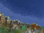
Larger image (new window) |
Satellite ImageImage Unavailable MODIS/Aqua larger image (afternoon) - unavailable |
Satellite ImagesImage Unavailble |
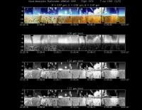
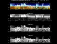
CAR - (QuickLook)
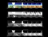
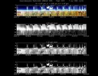
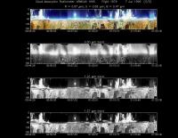
Imagery from CAR Instrument
Click browse image thumbnail to load more detailed version (images open in a new window)
| Flight Direction | Flight Direction |
|
|
|
|
|
|
|
|
Flight Mission Details
Most of this flight was devoted to aerosol profiling over the NASA ground-based sunphotometer (#2) located 80 miles south of Deadhorse. Clear sky condition prevailed during most of profiling, but there was some altocu.
Flight Path, Timing, and Measurements
The flight summary can be found here (opens in a new window)
