2001-07-10 (Flight #1870) |
Aircraft Flight SummaryDate: 2001-07-10 |
Flight Track Map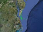
Larger image (new window) Image by U. Wash. Download KMZ/KML File (right click, save as) |
Satellite ImageImage Unavailable MODIS/Aqua larger image (afternoon) - unavailable Imagery by SSEC UW-Madison |
Satellite Images from GOES-8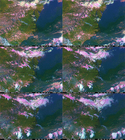 |
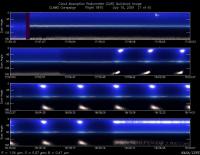
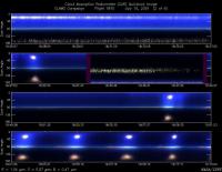
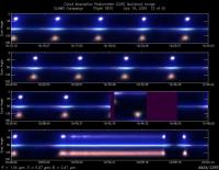
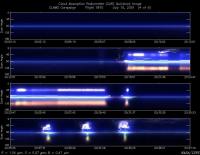
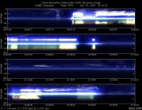
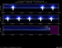
CAR - (QuickLook)
Imagery from CAR Instrument
Click browse image thumbnail to load more detailed version (images open in a new window)
Images by Dr. Charles Gatebe, NASA GSFC
| Flight Direction | Flight Direction |
|
|
|
|
|
|
|
|
|
Flight Mission Details
By Peter Hobbs
Goals of Flight:
- BRDF near COVE lighthouse
- Vertical profile over buoy 44014
- BRDF over buoy 44014
Accomplishments of Flight:
- BRDF near CLAMS lighthouse
- Run at 100 ft (for AOD) from lighthouse out to east and return to lighthouse
- Ascent to 12,000 ft over lighthouse
- Descent over lighthouse with full filters at 10, 000 and 4, 000 ft
- BRDF near light house
Weather Conditions:
- Generally clear, with patchy cirrus and altocumulus increasing toward end of flight
Instrument Problems:
- Pilot's GPS out during most of flight (came up toward end of flight)
- No communication link between cabin and pilot
- CNC2 intermittent
Additional Comments:
- Plans to coincide CV-580 flight with Terra overpass were scrapped earlier in day due to delay in Langley approval of - CLAMS flight plans
- Due to instrument problems #1 and 2, original goals of flight were modified in flight as noted above
Flight Path, Timing, and Measurements
1725: Engines on
1733: Take off
1738-1759: Transit to COVE lighthouse at 2,000 ft
1759-1805: Descent over lighthouse to 600 ft
1805-1819: Six circles at 600 ft near lighthouse for BRDF measurements
1819-1823: Descent to 100 ft
1823-1858: Run at 100 ft, for column aerosol optical depth measurements, from lighthouse to point south of buoy 44014 and return to lighthouse
1858-1925: Climb over lighthouse at 500 ft/min to 12,000 ft. Climb revealed horizontal variations in aerosols over short distances, with more polluted air on landward side.
1925-1942: Dwelled at 12,000 ft to fix baghouse before starting descent over lighthouse
1942-1947: Descent to 10,000 ft
1947-2036: Full set of filters at 10,000 ft for chemical composition measurements.
2036-2044: Descent to 4,000 ft over lighthouse
2044-2127: Full set of chemical composition measurements at 4,000 ft
2127-2139: Descent to 600 ft over lighthouse. Repositoned aircraft to get cloudless view of sun for BRDF measurements
2139-2158: Six circles off southern tip of Delmar peninsular for BRDF measurements. Circles crossed change in coloration of ocean, with darker (deeper?) green-blue water to the east and lighter green water to the west.
2158-2215: Return to Wallops at 100 ft and then 1,000 ft
2215: Land
2220: Engines off
