2001-07-14 (Flight #1872) |
Aircraft Flight SummaryDate: 2001-07-14 |
Flight Track Map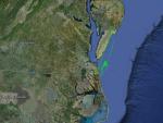
Larger image (new window) Image by U. Wash. Download KMZ/KML File (right click, save as) |
Satellite ImageImage Unavailable MODIS/Aqua larger image (afternoon) - unavailable Imagery by SSEC UW-Madison |
Satellite Images from GOES-8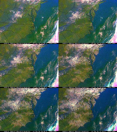 |
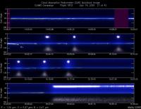
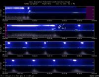
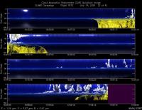
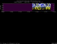
CAR - (QuickLook)
Imagery from CAR Instrument
Click browse image thumbnail to load more detailed version (images open in a new window)
Images by Dr. Charles Gatebe, NASA GSFC
| Flight Direction | Flight Direction |
|
|
|
|
|
|
|
Flight Mission Details
By Peter Hobbs
Goals of Flight:
- Climb to 10,000 ft and transit to COVE lighthouse
- Underfly Terra at COVE lighthouse at 100 ft (Terra overpass at 1542 UTC)
- BRDF near COVE lighthouse at 36 degrees 57.3 minutes North and 75 degrees 37.5 minutes West
- BRDF over Dismal Swamp
- Calibrate pressure, temperature, and winds against Wallops special sonde
Accomplishments of Flight:
- Done
- Done (CV-580 at lighthouse at Terra overpass time)
- Done at location slightly offset from prescribed point to avoid cloud
- Cancelled due to clouds over Dismal Swamp
- Done
Weather Conditions:
- Clear at take-off except for small cumulus clouds on the horizon. Increasing cumulus clouds during flight, with about 50% cumulus cloud cover over Wallops at end of flight. Low aerosol optical thickness (AOT), about 0.1 from surface.
Instrument Problems:
- Some problems with TANS locking on to satellite (affects pitch and roll angle measurements)
Additional Comments:
- Other aircraft flying: Cessna, Proteus, OV-10
Flight Path, Timing, and Measurements
1433: Engines on
1440: Take off
1440-1504: Climb to 10,000 ft on transit to COVE lighthouse
1504-1530: Descend at 500 ft/min then 1,000 ft/min to 100 ft
1530-1554: Runs at 100 ft over lighthouse. Over lighthouse at Terra overpass time of 1542 UTC.
1554-1559: Look for cloud-free spot near designated point for BRDF measurements
1559-1617: Seven CAR turns at 600 ft near designated spot
1617-1623: Climb to 4,000 ft to talk to CLAMS control. Advised that it was cloudy over Dismal Swamp but to proceed there to inspect visually.
1623-1632: Transited part way to Dismal Swamp. In view of considerable cloud in direction of Dismal Swamp, decided to cancel BRDF over swamp
1632-1715: Transit back to Wallops
1715-1735: Followed special radiosonde launched from Wallops to 12,000 ft for temperature, humidity, and wind comparisons.
1745: Touchdown at Wallops
1749: Engines off
