2001-07-16 (Flight #1873) |
Aircraft Flight SummaryDate: 2001-07-16 |
Flight Track Map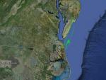
Larger image (new window) Image by U. Wash. Download KMZ/KML File (right click, save as) |
Satellite ImageImage Unavailable MODIS/Aqua larger image (afternoon) - unavailable Imagery by SSEC UW-Madison |
Satellite Images from GOES-8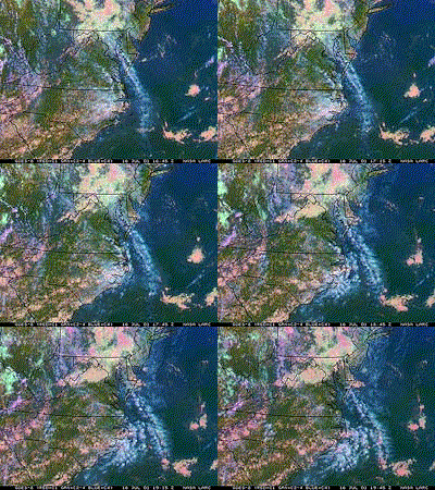 |
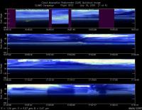
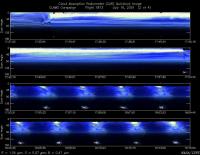
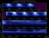
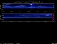
CAR - (QuickLook)
Imagery from CAR Instrument
Click browse image thumbnail to load more detailed version (images open in a new window)
Images by Dr. Charles Gatebe, NASA GSFC
| Flight Direction | Flight Direction |
|
|
|
|
|
|
|
Flight Mission Details
By Peter Hobbs
Goals of Flight:
- To support CERES/AVHRR retrievals under cloud-free conditions
- BRDFs at lighthouse, buoy 44014, and buoy 41001
- Underfly AVHRR satellite (at 1908 UCT) at buoy 41001
- Continous vertical profile over buoy 4100 (no height-resolved chemistry)
Accomplishments of Flight:
- Extensive cirrus clouds did not permit goals to be achieved. Also, the safety communications aircraft for CV-580, namely Proteus, had an instrument problem that required them to cut mission short. Therefore, CLAMS Control required CV-580 to cut short its transit flight to buoy 41001 and return to Wallops.
- Some runs at 100 ft between lighthouse and buoy 44014 (in intermittent cirrus)
- Did BRDF in best cloud-free area available (still some cirrus) at 35 deg 58.6 min N and 73 deg 59.68 min W. Also climbed to 10,000 ft at this location for continous sunphotometer and in situ aerosol measurements.
- Continous sunphotometer and aerosol etc measurements in profile to 100 ft on return to Wallops.
- Some filters for chemistry, but not height resolved
Weather Conditions:
- Extensive cirrus.
Instrument Problems:
- UV up and down
- CNC -1 short of butanol, unreliable
Flight Path, Timing, and Measurements
1630: Engines on
1638: Take off
1638-1640: Climb to 1400ft heading to CLAMS lighthouse
1640-1708: To lighthouse at 1400 ft
1708-1721: From lighthouse to buoy 44014 at 100 and 500 ft.
1721-1728: Looked for cloud-free area for BRDF near buoy 44014 : unable to find
1728-1734: Return to buoy 44014
1734-1753: Head to buoy 41001. Widespread cirrus.
1753-1813: Held by CLAMS Control at 35 deg 58.6 min N/73 deg 59.68 min W because of Proteus instrument problem. Did seven turns at this location for BRDF measuremnts. Partly cloudy.
1813-1844: Still on "hold" by Control, therefore, climbed at same location to 10, 000 ft for AOD and aerosol measurements.
1844-1905: Started return to Wallops (as instructed by CLAMS Control) in haze layer near 9,000 ft.
1905-1910: Started descent at 36 deg 43.68 min/75 deg 13.64 min between lighthouse and buoy 44014) for AOD and BRDF measurements beneath cloud-free region. Instructed by CLAMS Control to stop descent and return to Wallops.
1910-1944: Proceeded to Wallops on descending path, with some runs at 100 ft, but still extensive cirrus.
1944: Touchdown at Wallops
1947: Engines off
