2001-07-17 (Flight #1874) |
Aircraft Flight SummaryDate: 2001-07-17 |
Flight Track Map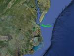
Larger image (new window) Image by U. Wash. Download KMZ/KML File (right click, save as) |
Satellite ImageImage Unavailable MODIS/Aqua larger image (afternoon) - unavailable Imagery by SSEC UW-Madison |
Satellite Images from GOES-8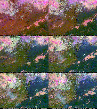 |
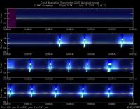
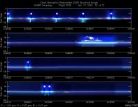
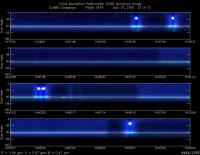
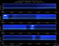
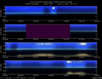
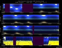
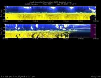
CAR - (QuickLook)
Imagery from CAR Instrument
Click browse image thumbnail to load more detailed version (images open in a new window)
Images by Dr. Charles Gatebe, NASA GSFC
| Flight Direction | Flight Direction |
|
|
|
|
|
|
|
|
|
|
Flight Mission Details
By Peter Hobbs
Goals of Flight:
To support Terra overpass of COVE lighthouse at 1614 UTC with:
- Vertical spiral 2 nm NW of lighthouse (36 deg 57.3 min/75 deg 37.5 min)
- Chemical measurements via filters and other aerosol measurements at several selected levels in L-shaped pattern
- Run at 100 ft through location given above at time of satellite overpass
- BRDF measurements at above location
- BRDF over Dismal Swamp
Accomplishments of Flight:
- All goals achieved in essentially cloud-free conditions. Excellent data set. ER-2 and several other NASA aircraft stacked over lighthouse at Terra overpass. "Golden day" for comparing MODIS, MISR, and Air-MISR with airborne and ground-based measurements.
Weather Conditions:
- Essentially cloudless (except for scattered cumulus over land). Moderate aerosol optical depth and light-scattering values.
Instrument Problems:
- CNC-1 (too warm)
- DMPS (because associated CN counter not working because of heat)
- Aerosol spectroreflectometer intermittent
- FSSP-300 may be reading low (compared to FSSP)
- TANS-vector altitude data lost between 1716 and 1750 UTC
Flight Path, Timing, and Measurements
1228: Engines on
1235: Take off
1235-1259: To 2 nm NE of COVE lighthouse (36 deg 57.3 min/75 deg 37.5 min), hereafter referred to as "lighthouse", at 2,000ft
1259-1305: Descend to 100 ft over lighthouse
1305-1336: Spiral to 11,000 ft over lighthouse
1336-1425: Descend to 9,000 ft and level runs near this level for 1st set of chemical filters. Roughly an L-shape flight pattern east of lighthouse, with westerly portion near lighthouse
1425-1430: Descend to 6, 000 ft
1430-1512: Second set of filters exposed near 6,000 ft in approx same L-pattern as at 9,000 ft.
1512-1517: Descend to 3,000 ft.
1517-1549: Third set of filters exposed near 3,000 ft in approximately same L-pattern as at 9,000 ft and 6,000 ft
1549-1601: Descend to 100 ft.
1601-1633: East to west, and west to east, tracks at 100 ft, through lighthouse but with track east of lighthouse longer than track west of lighthouse. At lighthouse at 1613 UCT. Terra satellite overpass at 1614 UTC.
1633-1640: Climb to 600 ft over lighthouse. Set up for BRDF turns
1640-1704: Eight CAR turns for BRDF
1704-1727: Climb to 5,500 ft over lighthouse and head to Dismal Swamp descending to 2,000 ft
1727-1735: Three CAR turns for BRDF over Dismal Swamp (cut short by dwindling fuel). Cessna should have been overhead at 12,000 ft. Location of turns: 3 miles west of 36 deg 32 min/76 deg 23 mins
1735-1812: Return to Wallops
1812: Touchdown at Wallops
1816: Engines off
