2001-07-23 (Flight #1875) |
Aircraft Flight SummaryDate: 2001-07-23 |
Flight Track Map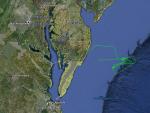
Larger image (new window) Image by U. Wash. Download KMZ/KML File (right click, save as) |
Satellite ImageImage Unavailable MODIS/Aqua larger image (afternoon) - unavailable Imagery by SSEC UW-Madison |
Satellite Images from GOES-8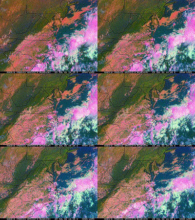 |
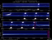
CAR - (QuickLook)
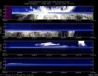
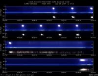
Imagery from CAR Instrument
Click browse image thumbnail to load more detailed version (images open in a new window)
Images by Dr. Charles Gatebe, NASA GSFC
| Flight Direction | Flight Direction |
|
|
|
|
|
|
Flight Mission Details
By Peter Hobbs
Goals of Flight:
- Underfly Terra satellite overpass at 1535 UTC in cloud free or scattered cloud conditions at least 50 miles from shore.
- BRDF under cloud-free conditions at ("near-Delaware") buoy 44009 at 38 deg 27.8 min /74 deg 42.12 min
Accomplishments of Flight:
- Goal #1 done: Runs from SW to NE at 100 ft in cloud free region about 70 miles east of Wallops before, during and after Terra overpass at 1535 UTC. Low aerosol optical depths (about 0.05).
- Goal #2 not accomplished due to clouds over buoy.
- Six turns for BRDF measurements at 600 ft over ocean at SW point of 100 ft runs (done just prior to low-level runs).
Weather Conditions:
- Building cumulus over land. Broken cloud over ocean with large cloud-free regions east of Wallops.
Instrument Problems:
- CNC-2
Flight Path, Timing, and Measurements
1351: Engines on
1402: Take off
1402-1500: Transit toward northeast climbing to 3200 ft and then southeast and east looking for cloud-free region.
1500-1517: Six circles for BRDF measurements at 600 ft over calm ocean in cloud-free region. Circles at SW point of 100 ft runs that followed.
1517-1520: Descend to 100 ft
1520-1554: Runs about 25 miles long at 100 ft above ocean in SW-NE direction about 70 miles east of Wallops in cloud-free region. Low AOD, 0.04-0.06. Terra satellite overpass at 1535 UTC.
1554-1614: Climb to 10,000 ft at 1,000 ft/min in cloud-free region. Good water vapor profile.
1614-1639: Return to Wallops descending steadily en route from 10, 000 ft.
1639: Touchdown at Wallops
1646: Engines off
