2001-07-26 (Flight #1878) |
Aircraft Flight SummaryDate: 2001-07-26 |
Flight Track Map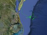
Larger image (new window) Image by U. Wash. Download KMZ/KML File (right click, save as) |
Satellite ImageImage Unavailable MODIS/Aqua larger image (afternoon) - unavailable Imagery by SSEC UW-Madison |
Satellite Images from GOES-8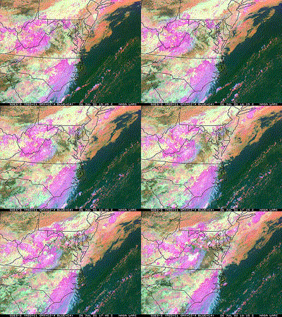 |
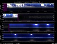
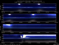
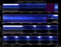
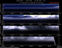
CAR - (QuickLook)
Imagery from CAR Instrument
Click browse image thumbnail to load more detailed version (images open in a new window)
Images by Dr. Charles Gatebe, NASA GSFC
| Flight Direction | Flight Direction |
|
|
|
|
|
|
|
|
Flight Mission Details
By Peter Hobbs
Goals of Flight:
- Low-level run in cloudless conditions beneath Terra satellite overpass at 1607 UTC
- Slow climb to 10, 000 ft over buoy 44014 (36 deg 34.98 min/74 deg 50.16 min)
- Fast descent to 600 ft over buoy
- BRDF at buoy 44014 in cloud-free conditions
- AOD at 100 ft
- Chemical characterization of aerosol
Accomplishments of Flight:
- Goal #1 achieved with 100 ft run between COVE lighthouse and buoy 44014 from 1556-1612 UTC
- Goal #2 done
- Goal #3 done, with descent to 100 ft over buoy 44014
- Goal #4 done near buoy 44014
- Goal #5 done
- Goal #6 partly achieved with filters, for chemical characterization, at 2200 ft (obtained in triangular pattern centered on buoy 44014 to explore spatial variations) and at lower levels.
Weather Conditions:
- Overcast to west, but generally clear from COVE lighthouse eastwards
Instrument Problems:
- Goddard aerosol spectroreflectometer did not work properly in slow ascent and stopped working after slow ascent.
Additional Comments:
- CV-580 flight cut short by CLAMS Control due to deteriorating weather at Wallops and return to base of "communication" aircraft required by Langley for low-level flights.
Flight Path, Timing, and Measurements
1528: Engines on
1535: Take off
1535-1556: Rapid transit to COVE lighthouse at cruise speed.
1556-1612: Descend to 100 ft. Head east from lighthouse to buoy 44014 with clear skies above. Terra satellite overpass at 1607 UTC. Surface wind estimated to be 20 to 25 knots.
1612-1643: Climb to 10,000 ft at 300 ft/min over buoy 44014 with cloudless skies
1643-1655: Descend at 1,000 ft/min to 100 ft over buoy 44014.
1655-1700: Ascend to 2, 200 ft.
1700-1739: Flew triangular pattern centered on buoy to explore (considerable) spatial variations in aerosol: AOD=0.15-0.4. Filters for chemical characterization at this level (also exposed another set of filters at lower levels).
1739-1746: Descend to 600 ft over buoy 44014 and searched to SE for best cloudless region for BRDF.
1746-1807: 6-8 circles for BRDF SE of buoy 44014 in cloudless region.
1807-1811: Descend to 100 ft for last low-level run under cloudless sky for AOD.
1811-1815: Climb to 2200 ft over buoy.
1815-1904: Return to Wallops at 2200 ft then 1100 ft. Exposed same filters previously exposed at 2200 ft to more aerosol during this period.
1904: Touchdown at Wallops
1909: Engines off
