2001-07-30 (Flight #1879) |
Aircraft Flight SummaryDate: 2001-07-30 |
Flight Track Map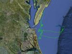
Larger image (new window) Image by U. Wash. Download KMZ/KML File (right click, save as) |
Satellite ImageImage Unavailable MODIS/Aqua larger image (afternoon) - unavailable Imagery by SSEC UW-Madison |
Satellite Images from GOES-8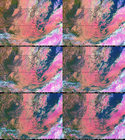 |
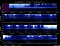
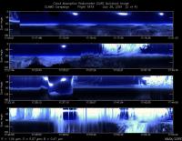
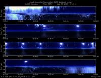
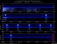
CAR - (QuickLook)
Imagery from CAR Instrument
Click browse image thumbnail to load more detailed version (images open in a new window)
Images by Dr. Charles Gatebe, NASA GSFC
| Flight Direction | Flight Direction |
|
|
|
|
|
|
|
Flight Mission Details
By Peter Hobbs
Goals of Flight:
- Underfly ER-2 off coast for sunphotometer and aerosol profiles in cloud-free holes
- BRDFs near COVE lighthouse and buoy 44014 in best cloud-free areas that can be found
Accomplishments of Flight:
- Goal #1 achieved in various locations beneath ER-2 and off Delmava peninsula
- BRDFs in partly cloudy conditions near COVE lighthouse, near buoy 44014 and off southern tip of Delmava peninsula
- Intergrated filters over low altitudes
Weather Conditions:
- Cloudy
Instrument Problems:
- CE neph
Additional Comments:
- ER-2, Proteus, and OV-10 flew.
- Terra satellite overpass prior to CV-580 flight.
- Air quite clean after frontal passage and heavy rains previous day
Flight Path, Timing, and Measurements
1609: Engines on
1617: Take off
1617-1634: Climb and head toward COVE lighthouse at 2,000 ft.
1634-1640: Run at 100 ft toward lighthouse in cloudy conditions.
1640-1645: Search for best cloud-free area near lighthouse.
1645-1655: Five circles at 600 ft for BRDF measurements. near lighthouse. Some cloud present.
1655-1706: Run at 100 ft looking for best cloud-free hole in which to do vertical profile near lighthouse.
1706-1719: Climb at 1,000 ft/min from 100 ft to 10,000 ft.
1719-1739: Slow descent to 100 ft near lighthouse.
1739-1743: Run at 100 ft east of lighthouse.
1743-1801: Climb to 5, 500 ft and head to buoy 44014 in and out of altocumulus cloud for some cloud structure measurements.
1801-1807: Search for best cloud-free region for BRDF measurements near buoy.
1816-1831: Five circles at 600 ft for BRDF measurements northeast of buoy 44014 in partly cloudy conditions.
1831-1837: Climb to 5, 500 ft through cloud-free region near buoy 44014.
1837-1854: Head back to COVE lighthouse in clean, cloud-free air at 8, 000ft (looking for cloud-free regions).
1854-1900: Descend to 1,500 ft near lighthouse in cloud-free region.
1900-1904: Search for cloud-free region near lighthouse for BRDF measurements.
1904-1921: Six circles for BRDF measurements at 600 ft. ( at 37 deg 6 min/75 deg 35 min) in best cloud-free region of the flight .
1921-1946: Return to Wallops (with run at 100 ft from about 1925-1928 in good cloud-free region).
1946: Touchdown at Wallops
1951: Engines off
