2007-06-19 (Flight #1922) |
Flight Photo Album |
Aircraft Flight SummaryDate: 2007-06-19 |
Flight Track Map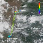
Larger image (new window) Download KMZ/KML File (right click, save as) |
Satellite Image from MODIS-Aqua/Terra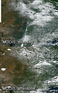
MODIS/Terra larger image (morning) (new window) MODIS/Aqua larger image (afternoon) (new window) |
Satellite Images from GOES-12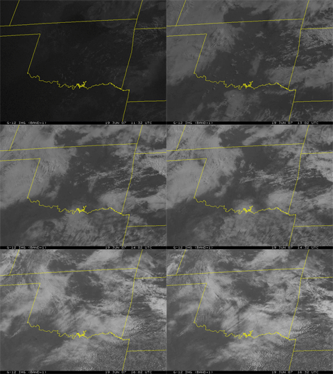 1132 - 1632 UTC |
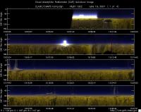
CAR - (QuickLook)
Imagery from CAR Instrument
Click browse image thumbnail to load more detailed version (images open in a new window)
| Flight Direction | Flight Direction |
|
|
|
|
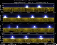
|
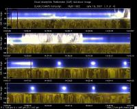
|
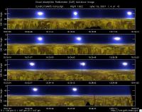
|
Flight Mission Details
Overview:
This was the 4th flight out of Ponca City. Preflight goals focused on measuring BRDF over the Southern Great Plain Central Facility (36.60°N, 97.48°W) -- CF and Little Washita (35.04°N, 97.91°W) -- LW under clear sky conditions.
J-31 Crew - David Thrasher (Pilot 1) & Scott Kaiser (Pilot 2).
Cabin Crew - Charles Gatebe (Flight scientist; GEST/GSFC), Robert Billings (UC Santa Cruz/NASA Ames), Miguel Roman (Grad. Student, Boston Univ.) and Michael King (NASA GSFC).
Flight Path, Timing, and Measurements
Time (UTC).
12:39 -- Engines on.
12:41 -- POS, Nose controller, and CAR instrument started normally.
12:50 -- Robert “Bob” Billings leaves the plane for an “emergency call.”
13:01 -- take off.
13:03 -- climbed to 3800’ msl.
13:06 -- reported Cu. Humilis
13:09 -- over CF, but too cloudy for BRDF measurements. Helicopter reported at lower altitude.
13:15 -- en route to LW.
13:24 -- reported Alto. Cu.
13:25 -- reported Canadian river.
13:34 -- in the vicinity of LW.
13:38 -- 2 minutes to LW. Started descent to 600 ft agl.
13:43 -- orbited the LW at 600’ agl for BRDF measurements. No clouds. At the site, buildings, water ponds, and roads reported.
13:58 -- end of BRDF circles.
13:59 -- climbed to 2000’ agl.
14:01 -- small Cu started to develop over the LW.
14:04 -- orbited LW at 2000’ agl. More Cu clouds developed over the site.
14:21 -- end of BRDF circles. Headed back to CF.
14:33 -- en route to CF. Cloud deck above.
14:35 -- established contact with Helicopter; was on its way out of the area. Cloud-free conditions reported over the site.
14:40 -- en route to CF; reported fair weather cumulus.
14:45 -- in the vicinity of CF. No clouds in the area.
14:47 -- orbited the CF at 600’ agl for BRDF measurements.
15:01 -- end of BRDF circles. Isolated cloud reported towards the horizon.
15:04 -- orbited CF at 2000’ agl for BRDF measurements.
15:19 -- adjusted the BRDF circles due to drifting.
15:26 -- end of BRDF circles.
15:33 -- orbited CF at 6000’ agl for BRDF measurements.
15:49 -- end of BRDF circles. Headed back to the base.
15:52 -- CAR shutdown.
15:55 -- touchdown.
16:03 -- Engine off.
