2007-06-22 (Flight #1925) |
Flight Photo Album |
Aircraft Flight SummaryDate: 2007-06-22 |
Flight Track Map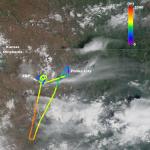
Larger image (new window) Download KMZ/KML File (right click, save as) |
Satellite Image from MODIS-Aqua/Terra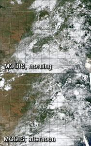
MODIS/Terra larger image (morning) (new window) MODIS/Aqua larger image (afternoon) (new window) |
Satellite Images from GOES-12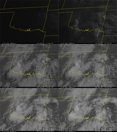 1102 - 1425 UTC |
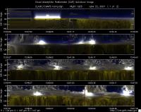
CAR - (QuickLook)
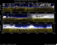
Imagery from CAR Instrument
Click browse image thumbnail to load more detailed version (images open in a new window)
| Flight Direction | Flight Direction |
|
|
|
|
|
Flight Mission Details
Overview:
This was the 7th flight out of Ponca City. Preflight goals focused on measuring BRDF over the Southern Great Plain Central Facility (36.60°N, 97.48°W) -- CF and Little Washita (35.04°N, 97.91°W) -- LW under clear sky and measurements inside optically thick clouds.
J-31 Crew - David Thrasher (Pilot 1) & Scott Kaiser (Pilot 2).
Cabin Crew - Charles Gatebe (Flight scientist; GEST/GSFC) and Robert Billings (UC Santa Cruz/NASA Ames).
Flight Path, Timing, and Measurements
Time (UTC).
12:16 -- Engines on.
12:17 -- POS, Nose controller, and CAR instrument started normally.
12:30 -- take off.
12:32 -- transit to CF; scattered cirrus reported.
12:34 -- Cu cloud deck reported at ~1300’ agl.
12:45 -- orbited CF at 600’ agl for BRDF measurements under broken clouds and thin fog.
13:01 -- end of BRDF circles.
13:08 -- orbited the CF at 3800’ agl, while waiting for clearance to go to LW.
13:11 -- transit to LW; reported low to medium level clouds and no evidence of Ci.
13:15 -- below an alto Cu.
13:19 -- looked for a suitable cloud for diffusion domain measurements. Nothing good.
13:24 -- reversed the course and headed back to the base.
13:27 -- transit to Ponca City at 4000’ msl. Sandwiched between clouds.
13:34 -- 7 miles southwest of Ponca City and preparing for landing.
13:35 -- CAR shutdown.
13:40 -- touchdown.
13:48 -- Engines off.
