2014-07-17 (Flight #2039) |
Aircraft Flight SummaryDate: 2014-07-17 |
Flight Track Map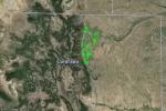
Larger image (new window) Download KMZ/KML File (right click, save as) |
Satellite Image from MODIS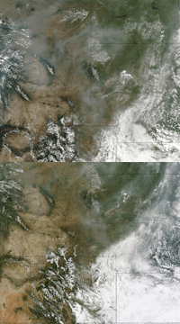
MODIS/Terra larger image (morning) (new window) MODIS/Aqua larger image (afternoon) (new window) |
Satellite Images from GOES-13 |
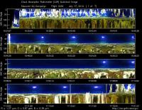
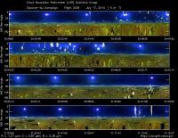
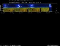
CAR - (QuickLook)
Imagery from CAR Instrument
Click browse image thumbnail to load more detailed version (images open in a new window)
| Flight Direction | Flight Direction |
|
|
|
|
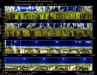
|
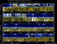
|
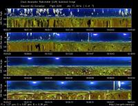
|
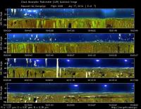
|
|
|
Flight Mission Details
This was P-3B the first flight out of Bloomfield Municipal Airport, Colorado. The aircraft took measurements over the six D-AQ sites: Fort Collins, Platteville, Golden NREL, BAO Tower, Denver/La Casa, and Chatfield Park.
Key instruments on P-3B include:
1. LARGE (Langley Aerosol Research GroupE): aerosols.
2. PDS (Project Data System): base meteorological and navigational measurements.
3. TD LIF: NO2, HNO3, PNs, ANs;
4. DLH (Diode Laser Hygrometer), H20.
5. DACOM (Differential Absorption CO Measurement): CO, CH4
6. DFGAS (Difference Frequency Generation Absorption Spectrometer): CH20
7. Chemiluminescence (NCAR 4-channel Chemiluminescence Instrument): O3, NO2, NO, NOy
8. PTR-MS (Proton-Transfer-Reaction Mass Spectrometer): non-methane hydrocarbons.
9. AVOCET (Atmospheric Vertical Observations of CO2 in the Earth's Troposphere): CO2.
10. CAR (Cloud Absorption Radiometer): scattered light and surface radiance that is reflected off of surfaces.
11. Fast Ethane Spectrometer: ethane, methane.
Flight Path, Timing, and Measurements
Approximate time in UTC (Colorado, -6 hours). Activities during CAR flight 2039 on July 17, 2014 out of Bloomfield Municipal Airport. Observations by CAR operator/PI, Charles Gatebe, accompanied by Rajesh Poudyal, CAR programmer/data analyst.
13:30 -- Preflight checks included physical inspection of the radome (accompanied by Rajesh Poudyal), wiped out a lot of water from the radome from the previous day rain. Powered both CAR and CANS. The instrument pointing couldn't find the default home position on power on. First few CAR scans looked corrupted, but went to normal after a few minutes. CAR door opened, inspected the mirror - looked clean.
16:00 -- CANS power on.
16:09 -- aircraft door closed.
16:13 -- engines started.
16:26 -- taxing.
16:32 -- takeoff.
16:36 -- CAR fully powered.
16:37 -- filter wheel stable.
16:41 -- filter wheel nice and cool.
16:42 -- Alt. 1960 m.
16:47 -- Alt. = 2704 m, roll = 28°.
16:49 -- pictures taken. scattered clouds.
16:52 -- Spiral up - Fort Collins/site-1.
16:53 -- Alt. 4604 m.
16:54 -- Alt. = 4970 m, roll=30°, pitch <3°.
17:02 -- Alt. =5500 m. End of spiral. Heading to Platteville/site-2. Scattered clouds.
17:07 -- spiral down at Platteville.
17:11 -- pictures taken during spiral down. Scattered clouds.
17:13 -- Nav temp. = 13°C. Alt. = 3306 m.
17:16 -- Alt. 2890m.
17:22 -- Alt. 1862m. very close to the ground. No clouds below aircraft, but scattered clouds above.
17:24 -- straight and level flight.
17:30 -- low level flight. No clouds below, but scattered clouds above aircraft. Alt. 1833 m.
17:39 m -- Alt. 1885m, flying low level. Notice gradient in surface reflectance, caused by broken clouds field above; looks interesting.
17:42 -- spiraling up at Golden/site-3.
17:44 - passing through a cloud.
17:46 -- Nav temp. 20.9°. Fan on.
17:48 -- cloud below -broken.
17:49 -- CANS collecting data.
17:55 -- Alt. 5492m.
17:57 -- Alt 5466m. Scattered Cu below and thin Ci above.
18:01 -- over BAO tower/site-4.
18:03 -- Nav temp. 13.6°C. Alt. 4407m. Spiral down. Broken clouds.
18:12 -- end of spiral. Straight and level. Alt. 1695m.
18:20 -- low level flight. Alt. 1978m.
18:21 -- over Denver City/site-5. No clouds below.
18:24 -- going through a cloud field. Alt. 2874m.
18:29 -- broken cloud field below.
18:34 -- Alt. 5443m. Broken clouds. Took some pictures.
18:41 -- Alt. 5008m at Chatfield/site-6. Spiral down.
18:43 -- over Chatfield lake. Low signal in the data. See scan#12500.
18:44 -- Alt. 4250m. Pollution layer reported.
18:49 -- going through a cloud. Alt. 2809m.
18:50 -- Alt. 2660m. Some turbulence. Skimming over a cloud.
18:51 -- Over Chatfield lake again.
18:52 -- Alt. 2438 m. CO2 peak reported by Andrea.
18:54 -- Alt. 1998m, low level flight.
18:56 -- close to balloon launch site at Golden/site-3.
18:57 -- at Golden/site-3.
19:00 -- Rajesh taking some pictures during the low level leg to Fort Collins.
19:04 -- Table mountains. Alt. 1890m.
19:06 -- flying low level, no clouds below, but scattered clouds above.
19:09 -- close to Fort Collins/site 1 - round 2. Alt. 1790m. Nav temp. 21°C.
19:12 -- Fort Collins/site-1, round 2. Cloudy above. Spiral up.
19:16 -- very cloudy, hazy over Fort Collins.
19:24 -- leaving Fort Collins. Alt. 5529m. Scattered clouds.
19:27 -- few clouds below, but almost overcast above.
19:29 -- headed to Platteville.
19:31 -- over Platteville. Overcast above. Alt. 4872m. Few scattered clouds below.
19:39 -- reported CO increase. Alt. 2896m at cloud level.
19:43 -- in the boundary layer. Alt. 1860 m.
19:44 -- transit from Platteville to Greeley airport.
19:48 -- high ethane/methane ratio, transitioning to agricultural area.
19:50 -- spectral difference between NIR channels (e.g. Ch5/0.870 µm and Ch6/1.036 µm) and VIS channels (Ch3/0.470µm and Ch4/0.680 µm).
19:51 -- missed approach at Greeley airport.
19:52 -- Alt. 1717m Nav 19.6°C.
19:55 -- agricultural areas clearly show up in the reflectance data (clear contrast between VIS and NIR spectral channels).
19:58 -- headed towards Golden/site 3.
20:01 -- cloudy above and below.
20:05 -- Alt. 2027m. About to start Golden spiral. Broken clouds in the area.
20:15 -- scattered clouds and thin cirrus above.
20:19 -- end of spiral at Golden. Alt. 5506 m.
20:23 -- spiral down at the BAO/site-4. Pretty cloudy (east of Highway 287).
20:27 -- reflectance peak at 160° during the spiral down. South of Highway 52.
20:39 -- uniform reflectance over cultivated areas. Alt. 1627 m.
20:40 -- missed approach.
20:41 -- straight and level.
20:44 -- glint over water body.
20:45 -- Denver/La Casa/site-5.
20:54 -- pictures over Denver, built up areas. No clouds below, but above.
20:59 -- end of spiral over Denver. Heading toward Chatfield. Alt. 5474 m.
21:00 -- scattered clouds below.
21:03 -- about to spiral down over Chatfield.
21:07 -- at 340 nm - no sensitivity over Chatfield lake due to Rayleigh.
21:13 -- Alt. 3000m. Entering the boundary layer.
21:17 -- holding the altitude due to air traffic. Alt. 2973m.
20:55 -- Chatfield lake.
21:25 -- close CAR door.
21:27 -- CAR didn't seem to close properly. Investigate after landing. CANS working fine.
21:31 -- landing.
21:37 -- stop taxing.
21:38 -- CANS power off. Waiting for engine cool down and power switch (from aircraft power to ground power).
21:44 -- engines power off.
21:52 -- Filter wheel switch was still running. Check CAR door - found to be closed.
