2014-07-20 (Flight #2040) |
Aircraft Flight SummaryDate: 2014-07-20 |
Flight Track Map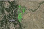
Larger image (new window) Download KMZ/KML File (right click, save as) |
Satellite Image from MODIS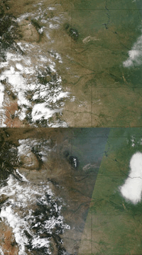
MODIS/Terra larger image (morning) (new window) MODIS/Aqua larger image (afternoon) (new window) |
Satellite Images from GOES-13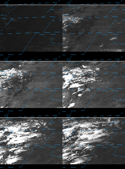 |
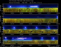
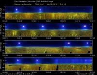
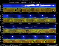
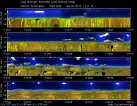
CAR - (QuickLook)
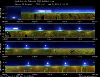
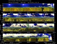
Imagery from CAR Instrument
Click browse image thumbnail to load more detailed version (images open in a new window)
| Flight Direction | Flight Direction |
|
|
|
|
|
|
|
|
|
Flight Mission Details
This was P-3B the second flight out of Bloomfield Municipal Airport, Colorado. The aircraft took measurements over the six D-AQ sites: Fort Collins/site-1, Platteville/site-2, Golden NREL/site-3, BAO Tower/site-4, Denver/La Casa/site-5, and Chatfield Park/site-6.
Key instruments on P-3B include:
1. LARGE (Langley Aerosol Research GroupE): aerosols.
2. PDS (Project Data System): base meteorological and navigational measurements.
3. TD LIF: NO2, HNO3, PNs, ANs;
4. DLH (Diode Laser Hygrometer), H20.
5. DACOM (Differential Absorption CO Measurement): CO, CH4
6. DFGAS (Difference Frequency Generation Absorption Spectrometer): CH20
7. Chemiluminescence (NCAR 4-channel Chemiluminescence Instrument): O3, NO2, NO, NOy
8. PTR-MS (Proton-Transfer-Reaction Mass Spectrometer): non-methane hydrocarbons.
9. AVOCET (Atmospheric Vertical Observations of CO2 in the Earth's Troposphere): CO2.
10. CAR (Cloud Absorption Radiometer): scattered light and surface radiance that is reflected off of surfaces.
11. Fast Ethane Spectrometer: ethane, methane.
Flight Path, Timing, and Measurements
Approximate time in UTC (Colorado, -6 hours). Activities during CAR flight 2039 on July 20, 2014 out of Bloomfield Municipal Airport. Observations by CAR operator/PI, Charles Gatebe, accompanied by Kurt Rush, CAR engineer.
13:29 -- aircraft door closed.
13:30 -- aircraft engines power on.
13:52 -- CAR computer not working. Switch to computer 2 and run the CAR.
13:55 -- CANS started/computer 2.
14:01 -- taxing.
14:09 -- take off.
14:10 -- open CAR door, during the take off.
14:12 -- CAR in the starboard imaging mode.
14:16 -- heading toward Fort Collins.
14:18 -- flying low; Alt. 2052m.
14:19 -- Nav temp., 29°C.
14:22 -- over Horsetooth reservoir - low reflectance.
14:23 -- flying low. Alt. 1600m.
14:24 -- spiral up over Fort Collins/site-1.
14:29 -- generally clear sky, with few thin Ci.
14:37 -- Alt. 4660m. Nav temp., 26.8°C.
14:41 -- end of spiral. Thin Ci, also hazy.
14:47 -- over Platteville/site-2. Start of spiral down. Alt., 4220m.
14:53 -- took some pictures. Generally clear sky with isolated thin Ci seen in one direction. Agricultural area.
14:59 -- end of spiral. Overpass power plant (gas).
15:01 -- flying low. Alt., 1766m.
15:04 -- missed approach.
15:07 -- approaching Golden/site-3.
15:09 -- flying low. Nav. temp., 29°.
15:14 -- Alt. 1864m.
15:17 -- approaching Golden, just past Denver city.
15:19 -- Golden/site-3. Alt. 2078m. Mixed land use (buildup, fallow land, etc.).
15:21 -- spiral up. Temp., 32°C.
15:22 -- balloon sited. Alt. 2580m. Area has mountains and valleys.
15:27 -- generally clear sky. Some thin Ci show up above the aircraft, 20-45° from zenith. Alt. 3960m.
15:35 -- contrail over the area. Close to the end of the spiral.
15:37 -- Alt. 4979m. End of the spiral. Aircraft unable to go higher due to fuel load. Generally clear sky, but some Ci visible and hazy.
15:39 -- BAO tower/site-4. More Ci visible. Pilot confirms.
15:46 -- Nav temp. 22°C, Alt. 2239m.
15:48 -- TDI up and running. Dry scattering 40, SP2 2/cc.
15:50 -- end of spiral down.
15:51 -- flying low. Alt. 1883m. Hazy.
15:55 -- spike in CO, ethane, aerosols, formaldehyde.
16:00 -- downtown Denver, over the towers. Generally clear sky.
16:05 -- Alt. 4079m. Nav. 28°C.
16:06 -- Ch3/0.470 µm and Ch4/0.682µm brighter over the city.
16:10 -- strong haze towards the horizon.
16:11 -- Alt. 5061 m. End of the spiral.
16:06 -- over Chatfield/site-6. Spral down. Generally clear sky., but some Ci visible.
16:24 -- scattered cloud pops.
16:30 -- end of the spiral.
16:34 -- low level leg toward Golden balloon launch site. Alt. 2270m.
16:35 -- extensive Ci at about 40° from zenith.
16:37 -- very low UV values. Alt. 2000m.
16:38 -- less Ci over the mountain range. Alt. 1960m.
16:42 -- Horsetooth reservoir. Approach to Christman airfield field.
16:43 -- missed approach at Christman Field. Alt. 1598m.
16:44 -- Fort Collins/site-1 - spiral up.
16:50 -- extensive Ci on one side of the circle area, clearly visible with the forward camera.
16:57 -- Alt. 5265m.
16:59 -- heading to Platteville. Need to burn fuel in preparation for landing. Some (ozone) instruments reporting problems that need to be fixed.
17:03 -- Alt. 5325m, Nav temp. 22°C.
17:04 -- over Platteville.
17:10 -- Ci visible at 60° from zenith.
17:16 -- AOD = 0.2.
17:07 -- end of spiral down.
17:20 -- strong reflectance in NIR channels over farms.
17:21 -- clear sky. Heading to Greeley for missed approach.
17:22 -- missed approach at Greeley Weld County airport. Ammonia (NH3) stable.
17:26 -- NH3 increase.
17:30 -- clear sky, but some scattered clouds towards the horizon.
17:32 -- oil and gas refinery - Golden city approaching.
17:36 -- high particle concentration reported, CO >250 ppb, NO2 > 50, Formaldehyde 5 ppb.
17:38 -- Golden site-3 spiral up. Scattered Cu over the site.
17:44 -- extensive clouds, casting shadows on the ground.
17:45 -- Alt. 4670m. Nav temp. 30°. Hazy.
17:47 -- Alt. 5190m?
17:49 -- Scattered clouds. End of spiral.
17:51 -- BAO/site-4. Alt. 5324m. Hazy conditions below the aircraft.
17:53 -- BAO tower coming up.
17:54 -- spiral down. Scattered clouds.
18:00 -- high clouds toward the horizon. Hazy.
18:08 -- aircraft shadow. Alt. 1919m.
18:09 -- Alt. 1750m.
1810 -- end of spiral. Perform missed approach at Parkland airport.
18:11 -- scattered clouds. Flying low. Alt. 1900m.
18:14 -- more scattered clouds.
18:16 -- NO2 going up. Spike in large particles.
18:17 -- Denver - LaCasa/Site-5. Spiral up.
18:18 -- scattered clouds, more widespread.
18:24 -- more high clouds in the afternoon. Could be interesting to compare reflectance between morning and afternoon measurements. Hazy in the afternoon.
18:27 -- under a cloud. Alt. 5223m.
18:29 -- scattered clouds.
18:30 -- Alt. 5313. End of spiral.
18:31 -- clouds are more extensive.
18:33 -- almost overcast. Alt. 5281m.
18:35 -- over Chatfield/site-6. Almost overcast in some directions.
18:41 -- under a thick cloud. sky almost overcast except towards the horizon.
18:43 -- hotspot around 160° from zenith.
18:45 -- very homogenous surface. Sunglint over Chatfield Lake.
18:48 -- broken clouds.
18:49 -- end of the spiral.
18:52 -- CAR power off.
18:53 -- CANS running.
18:56 -- landed.
19:04 -- stop taxing. CANS power off.
