2014-07-23 (Flight #2045) |
Aircraft Flight SummaryDate: 2014-07-23 |
Flight Track Map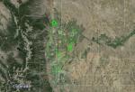
Larger image (new window) Download KMZ/KML File (right click, save as) |
Satellite Image from MODIS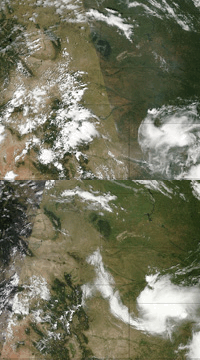
MODIS/Terra larger image (morning) (new window) MODIS/Aqua larger image (afternoon) (new window) |
Satellite Images from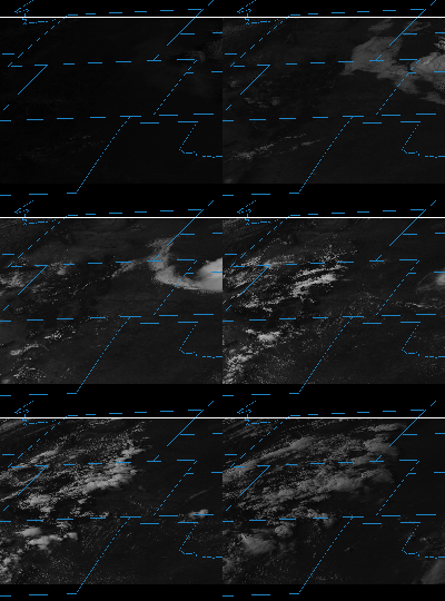 |
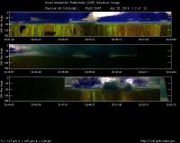
CAR - (QuickLook)
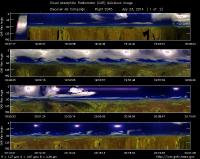
Imagery from CAR Instrument
Click browse image thumbnail to load more detailed version (images open in a new window)
| Flight Direction | Flight Direction |
|
|
|
|
|
Flight Mission Details
This was P-3B seventh flight out of Bloomfield Municipal Airport, Colorado. The aircraft took measurements over the six D-AQ sites: Fort Collins/site-1, Platteville/site-2, Golden NREL/site-3, BAO Tower/site-4, Denver/La Casa/site-5, and Chatfield Park/site-6.
Key instruments on P-3B include:
1. LARGE (Langley Aerosol Research GroupE): aerosols.
2. PDS (Project Data System): base meteorological and navigational measurements.
3. TD LIF: NO2, HNO3, PNs, ANs;
4. DLH (Diode Laser Hygrometer), H20.
5. DACOM (Differential Absorption CO Measurement): CO, CH4
6. DFGAS (Difference Frequency Generation Absorption Spectrometer): CH20
7. Chemiluminescence (NCAR 4-channel Chemiluminescence Instrument): O3, NO2, NO, NOy
8. PTR-MS (Proton-Transfer-Reaction Mass Spectrometer): non-methane hydrocarbons.
9. AVOCET (Atmospheric Vertical Observations of CO2 in the Earth's Troposphere): CO2.
10. CAR (Cloud Absorption Radiometer): scattered light and surface radiance that is reflected off of surfaces.
11. Fast Ethane Spectrometer: ethane, methane.
Flight Path, Timing, and Measurements
Approximate time in UTC (Colorado, -6 hours). Activities during CAR flight 2045 on July 23, 2014 out of Bloomfield Municipal Airport. Observations by Rajesh Poudyal.
19:21 Computers, CANS on
19:34 Take off
19:37 CAR on, CAR door open
19:38 FW on 2.2
19:47 Ft.Collins Low approach
19:48 Cloudy over Ft.Collins
20:02 Spiral up completes
20:07 Toward Platteville
20:11 FW issue
20:19 Finished Spiral
20:23 Hazy condition outside
20:25 Over Greely
20:25 Still some issue with FW
20:36 Towards Denver , Cloudy
20:38 Denver Spiral, cloudy
20:42 Raining, imaging mode towards BAO tower
20:48 Starboard Hazy outside, some cloud above BOA tower spiral up, weather problem, early landing
20:55 CAR off
20:58 Land
