2014-08-03 (Flight #2053) |
Aircraft Flight SummaryDate: 2014-08-03 |
Flight Track Map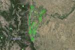
Larger image (new window) Download KMZ/KML File (right click, save as) |
Satellite Image from MODIS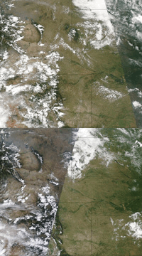
MODIS/Terra larger image (morning) (new window) MODIS/Aqua larger image (afternoon) (new window) |
Satellite Images from GOES-13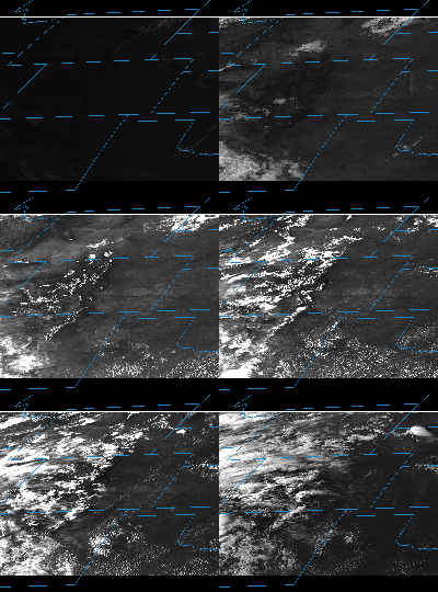 |
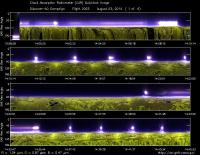
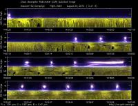
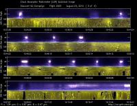
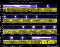
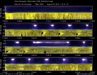
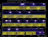
CAR - (QuickLook)
Imagery from CAR Instrument
Click browse image thumbnail to load more detailed version (images open in a new window)
| Flight Direction | Flight Direction |
|
|
|
|
|
|
|
|
|
Flight Mission Details
This was P-3B fifteenth flight out of Bloomfield Municipal Airport, Colorado. The aircraft took measurements over the six D-AQ sites: Fort Collins/site-1, Platteville/site-2, Golden NREL/site-3, BAO Tower/site-4, Denver/La Casa/site-5, and Chatfield Park/site-6.
Key instruments on P-3B include:
1. LARGE (Langley Aerosol Research GroupE): aerosols.
2. PDS (Project Data System): base meteorological and navigational measurements.
3. TD LIF: NO2, HNO3, PNs, ANs;
4. DLH (Diode Laser Hygrometer), H20.
5. DACOM (Differential Absorption CO Measurement): CO, CH4
6. DFGAS (Difference Frequency Generation Absorption Spectrometer): CH20
7. Chemiluminescence (NCAR 4-channel Chemiluminescence Instrument): O3, NO2, NO, NOy
8. PTR-MS (Proton-Transfer-Reaction Mass Spectrometer): non-methane hydrocarbons.
9. AVOCET (Atmospheric Vertical Observations of CO2 in the Earth's Troposphere): CO2.
10. CAR (Cloud Absorption Radiometer): scattered light and surface radiance that is reflected off of surfaces.
11. Fast Ethane Spectrometer: ethane, methane.
Flight Path, Timing, and Measurements
Approximate time in UTC (Colorado, -6 hours). Activities during CAR flight 2053 on August 3, 2014 out of Bloomfield Municipal Airport. Observations by Rajesh Poudyal.
13:20 CAR on
13:34 FW noise ~500 (@2.1)
13:37 All Ch working
13:52 Taxing
13:57 Take off
13:59 Starboard view auto roll correction on
14:07 Low approach Ft.Collins
14:09 Spiral up, Clear zenith thin bright cloud horizon
14:15 Low ozone reported, missed approach
higher ozone reading at 6800 during spiral.
14:24 Transit to Platteville
14:26 aerosol (260 ppt)(reported) ozone 55
14:30 No spiral over Platteville, towards Greely
14:39 Spiral at Greely
14:40 Missed approach at Greely
14:52 Hazy condition outside
14:54 Over Platteville towards Lacasa
15:02 Golden spiral some thin cloud
15:17 Towards BAO tower
15:20 Spiral down BAO
15:35 Parkland low approach
15:40 LaCasa spiral
15:52 Towards Chatfield spiral down
15:54 Hazy conditions ,sky looks clear,some thin cirrus clouds
16:24 Approaching Ft. Collins
16:26 Missed approach
16:32 Ft. Collins spiral
16:35 Increase in scattering (reported)
16:44 Platteville thin cirrus and hazy conditions
16:47 Spiral
17:02 Seems less cloudy but hazy
17:07 Greely missed approach
17:17 Platteville to Lacasa
17:22 Golden spiral some contrails above otherwise clear sky clouds on the horizon
17:35 To BAO tower
17:41 BAO spiral
18:03 LaCasa spiral
18:14 Chatfield spiral
18:35 Ozone 80 (reported)
18:40 Sky view mode
18:42 Door closed
18:43 Land, FW worked without issue.
