2011-08-23 (Flight #2026) |
Aircraft Flight SummaryDate: 2011-08-23 |
Flight Track Map
Larger image (new window) Download KMZ/KML File (right click, save as) |
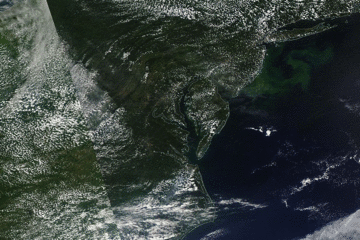
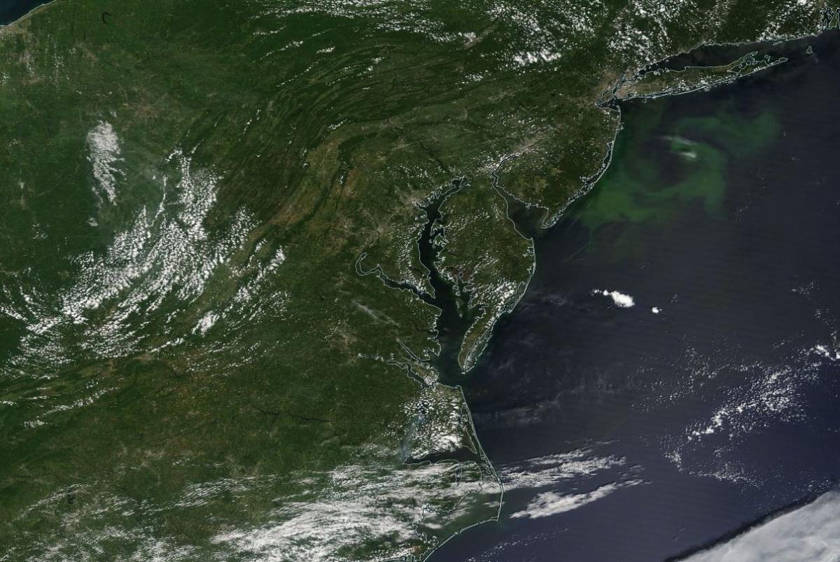
Satellite Image from MODIS
|
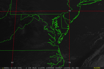
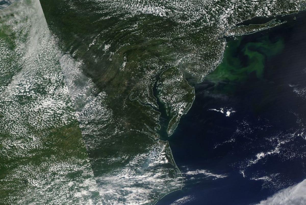
Satellite Images from GOES-13 |
CAR - (QuickLook)
Imagery from CAR Instrument
Click browse image thumbnail to load more detailed version (images open in a new window)
| Flight Direction | Flight Direction |
 |
 |
Flight Mission Details
Overview:
This was the third flight operating out of Wallops Flight Facility (WFF) in Virginia. Science goals include:
1. SIMPL/DBASR around WFF.
P-3B Instrument Payload:
CAR - Cloud Absorption Radiometer measured angular distribution of scattered radiation and acquired BRDF measurements over SERC site near Wallops Flight Facility. Fully operational the entire flight.
SIMPL: no instrument report, but was fully operational.
SIMPL is an innovative dual-wavelength, polarimetric, photon counting lidar that provides high-resolution information on the physical properties of terrestrial surfaces based on their light scattering signatures.
PDS Project Data System (PDS). No instrument report. Fully operational. Acquired base meteorological and navigational measurements.
DBSAR - No instrument report. Fully operational.
DBSAR: Digital Beamforming SAR (PI Rafael Rincon). DBSAR is a new generation airborne L- Band radar system that provides two- and three-dimensional fine-scale measurements of biomass.
Flight Path, Timing, and Measurements
Approximate time in UTC (US east coast time - 4 hours). Activities during CAR flight 2026 on August 23, 2011 out of Wallops Flight Facility (WFF), Virginia. Observations by CAR operator/PI, Charles Gatebe.
12:40 - CANS and CAR computer power on. Checked instrument rotation.
12:50 - CANS data acquisition begin.
13:26 - engine on.
13:31 - taxing.
13:35 - take off.
13:38 - CAR power on.
13:39 - CAR door open.
13:45 - downward imaging mode. Alt. 3882 m.
13:51 - generally clear, but some thin Ci above.
13:55 - descent.
13:58 - clear water contrast: bright on one side and darker on the other side.
14:00 - filter wheel at 2.2 µm. Lots of Ci above. SIMPL lines.
14:05 - filter wheel noisy.
14:07 - SIMPL lines. Filter wheel channel (2.2 µm) very dark.
14:09 - Alt. 2000 m. Lots of thin Ci above, but otherwise sunny.
14:13 - Going to a higher altitude.
14:15 - Glint. Less Ci above P-3.
14:18 - over a coastline.
14:20 - Ch 5 (0.87 µm) and Ch 6 (1.036 µm) are correlated. Alt. 3928 m.
14:21 - DBSAR lines.
14:34 - Ci above P-3.
14:43 - DBSAR lines.
14:47 - coastline; entering over land.
14:50 - small Cu below P-3; Ci above.
14:56 - Ch 4 (0.68 µm) signal is very low.
15:09 - SIMPL lines.
15:10 - Cu clouds.
15:11 - CAR door closed.
15:12 - CAR power off.
15:19 - landed.
15:28 - CANS power off.
15:29 - engines off.