2011-08-31 (Flight #2030) |
Aircraft Flight SummaryDate: 2011-08-31 |
Flight Track Map
Larger image (new window) Download KMZ/KML File (right click, save as) |
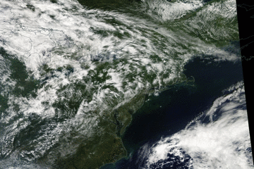
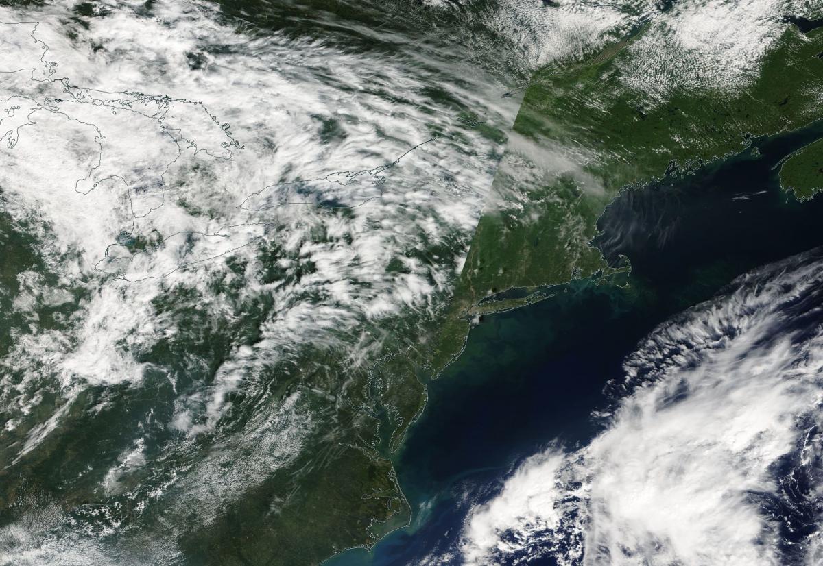
Satellite Image from MODIS
|
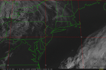
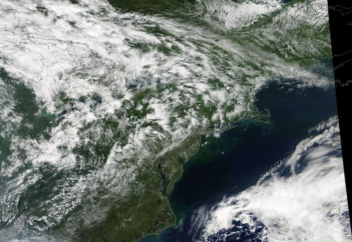
Satellite Images from GOES-13
|
CAR - (QuickLook)
Imagery from CAR Instrument
Click browse image thumbnail to load more detailed version (images open in a new window)
| Flight Direction | Flight Direction |
 |
Flight Mission Details
Overview:
This was the seventh flight. Flight was out of Bangor Airport, Maine to Quebec, Canada and back. Science goals include:
1. CAR BRDF measurements over Howland forest.
2. SIMPL/DBASR lines in Quebec, Canada.
P-3B Instrument Payload:
CAR - Cloud Absorption Radiometer measured angular distribution of scattered radiation and acquired BRDF measurements over SERC site near Wallops Flight Facility. Operated for a small section of the flight because of instrument problems.
SIMPL: no instrument report, but was fully operational.
SIMPL is an innovative dual-wavelength, polarimetric, photon counting lidar that provides high-resolution information on the physical properties of terrestrial surfaces based on their light scattering signatures.
PDS Project Data System (PDS). No instrument report. Fully operational. Acquired base meteorological and navigational measurements.
DBSAR - No instrument report. Fully operational.
DBSAR: Digital Beamforming SAR (PI Rafael Rincon). DBSAR is a new generation airborne L- Band radar system that provides two- and three-dimensional fine-scale measurements of biomass.
Flight Path, Timing, and Measurements
Approximate time in UTC (US east coast time - 4 hours). Activities during CAR flight 2030 on August 31, 2011 out of Bangor airport, Maine. Observations by CAR operator/PI, Charles Gatebe.
11:40 - Bangor Airport. Inspected the CAR instrument. Looked ok.
11:59 - CAR power check. Ok. Clear sky. Prayed for clear sky over Howland forest during BRDF measurements.
12:54 - taxing
13:02 - take off.
13:04 - CAR power on.
13:12 - over Howland forest. Setting up for BRDF. Alt. 3000 m.
13:13 - circle 1.
13:16 - circle 2.
13:22 - end of circle 3.
13:28 - Alt. 1000 m. Circle 1.
13:31 - start of 3rd circle.
13:33 - some clouds developing.
13:36 - end of BRDF circles. Going to a higher level.
13:39 - start of BRDF circles at 2615 m.
13:43 - end of circle 1.
13:45 - all heaters on.
13:46 - serial data problem. CAR stopped communicating data. Restarted, but no luck.
14:00 - CAR declared not working. Called Kurt Rush. Start troubleshooting. P-3 headed to Quebec, Canada.
15:59 - called Kurt Rush and Rajesh. Still no success with CAR.
17:26 - tried to communicate with the CAR. No success.
17:37 - landed, Bangor Airport.
17:38 - CANS power off.
17:42 - end of taxing. Engines off.