2011-09-14 (Flight #2034) |
Aircraft Flight SummaryDate: 2011-09-14 |
Flight Track Map
Larger image (new window) Download KMZ/KML File (right click, save as) |
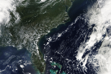
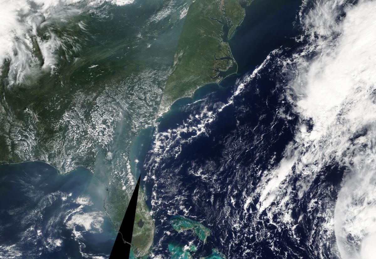
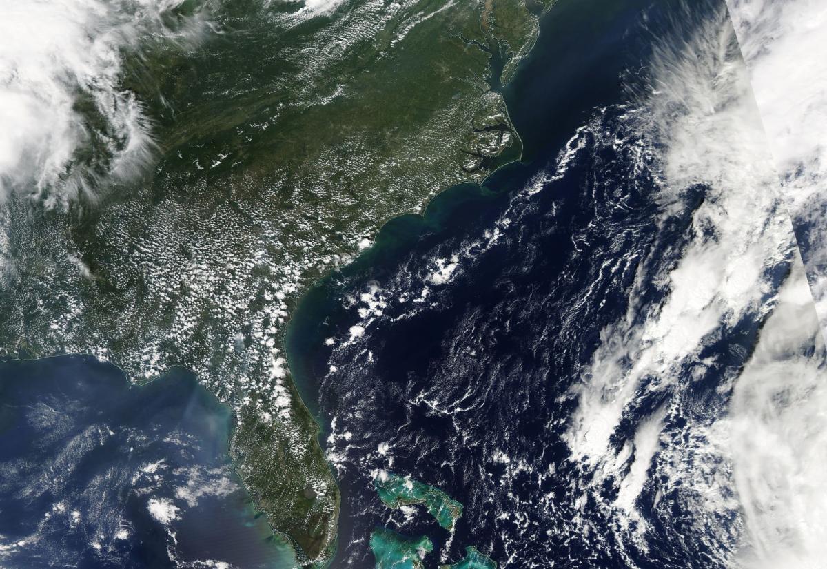
Satellite Image from MODIS
|
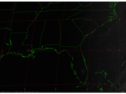
Satellite Images from GOES-13
|
CAR - (QuickLook)
Imagery from CAR Instrument
Click browse image thumbnail to load more detailed version (images open in a new window)
| Flight Direction | Flight Direction |
 |
 |
 |
 |
 |
 |
 |
 |
 |
 |
Flight Mission Details
Overview:
This was the eleventh flight, out of Homestead Air Force Base, Florida and transit to Wallops Flight Facility. Science goals include:
1. SIMPL/DBASR lines during transit (Everglades, Florida).
2. CAR BRDF measurements
P-3B Instrument Payload:
CAR - Cloud Absorption Radiometer measured angular distribution of scattered radiation and acquired BRDF measurements over the Everglades. Full operational the entire flight.
SIMPL: no instrument report, but was fully operational. Dave Harding, Phil Dabney operated the instrument.
SIMPL is an innovative dual-wavelength, polarimetric, photon counting lidar that provides high-resolution information on the physical properties of terrestrial surfaces based on their light scattering signatures.
PDS Project Data System (PDS). No instrument report. Fully operational. Acquired base meteorological and navigational measurements.
DBSAR - No instrument report. Fully operational.
DBSAR: Digital Beamforming SAR (PI Rafael Rincon). DBSAR is a new generation airborne L- Band radar system that provides two- and three-dimensional fine-scale measurements of biomass.
Flight Path, Timing, and Measurements
Approximate time in UTC (US east coast time - 4 hours). Activities during CAR flight 2033 on September 14, 2011 out of Homestead Airforce base, Florida and transit to Wallops Flight Facility, Virginia. Observations by CAR operator, Rajesh Poudyal.
11:20 - Nav/motor/computer on.
11:45 - plane take off.
11:47 - CANS data started.
11:50 - starboard mode, fw on 4 (2.1 µm).
11:52 - hazy condition, no puffy cloud like yesterday. Some cloud on the horizon.
11:55 - fw has little noise.
11:58 - SIMPL line started, imaging mode.
12:03 - starboard, may be catch moon in the sky.
12:38 - BRDF circle #1; 2km.
12:40 - BRDF circle #2.
12:47 - BRDF circle #3 completed, going to 1 km (data drop while going down?).
12:51 - BRDF circle #4; 1km.
12:54 - BRDF circle #5 small puffy cloud showed up.
12:58 - BRDF circle #6.
13:03 - circle complete, going to 2000 ft (could not go below because of wildlife habitat restriction).
13:04 - BRDF circle #7.
13:08 - BRDF circle #8.
13:11 - BRDF circle #9.
13:16 - completed circles finishing through the sun. Very small puffy clouds started to appear on low level brdf circles.
13:18 - imaging mode.
13:27 - SIMPL roll 5 times.
13:32 - SIMPL lines over the CAR BRDF site.
13:51 - outlet layer sediment sequence.
14:12 - SIMPL lines.
14:18 - principal plane.
14:27 - Florida keys.
14:31 - starboard mode.
14:45 - fw to 2.2 µm.
14:55 - imaging mode.
14:30 - low variation in UV signal.
15:00 - DBSAR lines.
15:18 - reverse signal band 1 and 4 at 90 deg.
15:28 - lots of variability ch 5-8.
15:30 - imaging coastline.
15:37 - DBSAR line 3.
15:42 - DBSAR line.
16:04 - Starboard mode.
16:14 - hazy puffy clouds
16:50 - last DBSAR line before heading to Wallops.
17:04 - heading to Wallops.
17:06 - starboard mode.
17:12 - imaging mode.
17:42 - fire smoke below.
18:26 - cloud sides measurements.
18:29 - cloud above and below.
18:38 - scanning cloud side.
18:56 - imaging clouds.
19:37 - imaging sky, UV decreasing as height.
19:38 - door close.
19:43 - land at Wallops Flight Facility.