1998-05-23 (Flight #1753) |
Aircraft Flight SummaryDate: 1998-05-23 |
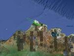
Flight Track Map
Larger image (new window) Download KMZ/KML File (right click, save as) |
Satellite ImageImage Unavailable MODIS/Aqua larger image (afternoon) - unavailable |
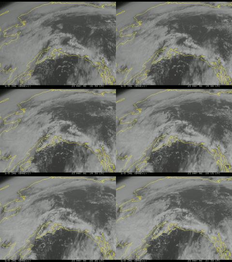
Satellite Images from goes-09
1830-2130 UTC |
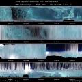
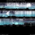
CAR - (QuickLook)
Imagery from CAR Instrument
Click browse image thumbnail to load more detailed version (images open in a new window)
| Flight Direction | Flight Direction |
 |
 |
 |
 |
Flight Mission Details
We did mostly in-cloud radiation measurements above and in between altocumulus and stratus cloud layers. The data from this flight was less than ideal for the CAR instrument because the cloud layers were not distinct, the CAR got stuck in BRDF mode, and the flight was cut short due to a faulty engine alarm. The CAR was able to observe some stratus and cumulus layers. Total of 8522 scan data were collected between 19:19:17 - 20:44:40 UTC.
Flight Path, Timing, and Measurements
The filterwheel channel for the CAR for the entire flight was locked on 1.6 µm. At 19:20, the CV-580 flew between cloud layers to the West at around 4185 ft MSL, with the CAR in nadir scanning mode. At 19:22 the CV-580 climbed to 500 ft above the tops of broken stratus over a surface of broken ice. Above were 2 slivers of altocumulus clouds.
At 19:28, we ran out of stratus below us and the altocumulus began to thin, so we decided to turn back East and fly just below the base of the higher altocumulus layer. At 19:32, the CV-580 flew just at the tops of the altocumulus clouds at around 10,300 ft MSL.
In order to observe the fairly uniform altostratus deck below us, the CV-580 began running a racetrack pattern about 12 miles in length just above the altostratus at about 19:37. During this pattern the CAR was put in BRDF mode, and was then stuck in this mode for the remainder of the flight.
At 19:53, the CV-580 descended below the stratus cloud tops into a very thin altostratus layer. At 20:00, we turned around and descended below the stratus layer. That layer did not remain constant, however, and the CV-580 was forced to climb and descend in order to stay below some broken stratus. At 20:09, another lower stratus layer appeared below us and the CV-580 descended down into that cloud layer. Again, the stratus was very thin and so the CAR was not always inside the cloud layer.
While we continued to try to move the CAR out of the BRDF position, we were unsuccessful. Only when the CV-580 experienced an alarm from one of the engines and we were on approach to Barrow, could we successfully move the CAR into another position. At that point, the chance to take measurements was past.

