1998-05-27 (Flight #1754) |
Aircraft Flight SummaryDate: 1998-05-27 |
Flight Track Map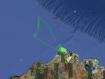
Larger image (new window) Download KMZ/KML File (right click, save as) |
Satellite ImageImage Unavailable MODIS/Aqua larger image (afternoon) - unavailable |
Satellite Images from goes-09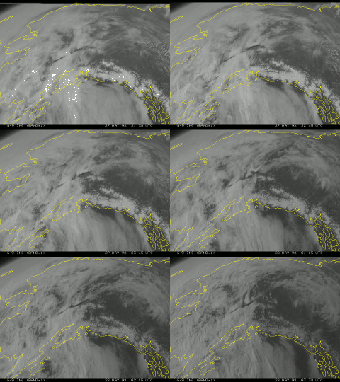
2130-0330 UTC |
CAR - (QuickLook)
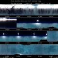
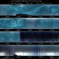
Imagery from CAR Instrument
Click browse image thumbnail to load more detailed version (images open in a new window)
| Flight Direction | Flight Direction |
 |
 |
 |
 |
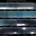 |
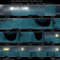 |
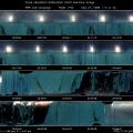 |
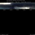 |
Flight Mission Details
The highlights of this flight can be grouped into four categories: made 3 circles of BRDF measurements above altocumulus, locked into zenith imaging mode to observe the sun halo and many other interesting optical phenomena (upper helic arc, lower tangential arc, circum helic arc, subsub and sun dogs), made 10 circles for BRDF measurements over ARM site under cloud cover and used nadir imaging mode to map the ARM site.
Flight Path, Timing, and Measurements
22:45 heading North out of Barrow in scattered altoclumulus . CAR was in zenith imaging mode.
22:48 climbed into the lowest altocumulus layer whose base was at 15643 ft, and about 90% of ice.
22:58 in the process of going through all three layers of altocumulus .
23:05 went through 3rd layer of altocumulus and are now above all 3 layers, at 18000 ft.
23:06 change to BRDF viewing mode at scan count 1912 and ready to do BRDF over altocumulus cloud layer . This cloud layer is not uniform, some parts are very thick and others are thin enough that ground is clearly visible .
23:22 completed 3 BRDF circles at scan count 3468, but altocumulus layer is too thin, so we concluded BRDF measurements.
23:26 changed CAR to nadir imaging mode at scan count 3895 and started level flight over altocumulus layer.
23:32 dropped into a very non uniform cloud layer and did race track runs at cloud top.
23:43 turning and going below cloud base at 17200 ft.
23:45 just about below cloud deck, some snowflakes and ice crystals. Usual surface features below cloud.
23:51 climbing back into the altocumulus layer, upper cirrostratus layer is visible.
00:08 changed to zenith imaging mode in order to observe the halo that appeared around the sun.
00:14 cloud size ice crystals becoming thicker.
00:17 locked filterwheel to 2.2 µm and observed the halo.
00:20 passed over ARM site, still in ice cloud at 18,317 ft (ER-2 overhead)
00:43 climbed up higher, still in cloud at 20,722 ft and observed interesting cloud optical phenomena that can also be seen on the CAR monitor.
01:06 can't get above cloud, so begin spiral descent through cloud over ARM site. Observed subsub at lower left of the CV-580.
01:35 exited base of cloud.
01:47 changed CAR to the BRDF mode.
02:03 began total of 10 BRDF circles over the ARM site at 507 ft above the ground, with altocumulus above and snow below
02:28 done with the BRDF, began to level off for the race track runs over the ARM site.
02:47 changed the CAR to nadir imaging mode and began to collect imaging data at 1500 ft above the ground. There are variety of surface types in the tracks as shown in.

