1998-05-28 (Flight #1755) |
Aircraft Flight SummaryDate: 1998-05-28 |
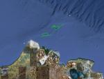
Flight Track Map
Larger image (new window) Download KMZ/KML File (right click, save as) |
Satellite ImageImage Unavailable MODIS/Aqua larger image (afternoon) - unavailable |
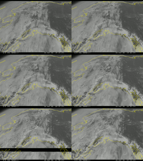
Satellite Images from goes-09
1915-2215 UTC |
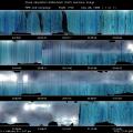
CAR - (QuickLook)
Imagery from CAR Instrument
Click browse image thumbnail to load more detailed version (images open in a new window)
| Flight Direction | Flight Direction |
 |
 |
 |
|
Flight Mission Details
This flight was more or less a scout mission. The most useful data collected on this flight was the nadir imaging data over the ARM site towards the end of the flight.
Note the latitude and longitude for Barrow airport: 71.28° N, 156.76° W.
Note the latitude and longitude for ARM site: 71.1929° N, 156.3712° W.
Flight Path, Timing, and Measurements
20:15 (scan count=500) lock the CAR to nadir viewing mode, over sea ice, thin stratus below and cirrostratus high above .
20:18 (scan count=790) try automatic gain settings, set dwell to 5 scans. We are on a 20 mile long track run, in a thin stratus cloud layer.
20:38 right hand viewing (starboard mode), sandwiched between two cloud layers .
Not getting data, so we rebooted the computer. Signals come through and seem to have been written on the tape, but nothing shows on the CRT display. May not be receiving the live header feed from Jack's master computer.
20:55 CAR is working again and recording data on a second tape. We are in two layer clouds and the lower layer is not particularly thick .
21:03 use zenith viewing mode to scan the bottom of a cirrostratus cloud layer.
21:15 mapping large open leads from 100 ft altitude, switched the CAR to nadir viewing mode .
21:27 cycling manually through the filterwheel channels. Heading back to Barrow ARM site. Good imaging data of sea ice.
21:43 arrived at Barrow ARM site, spiral up through the cloud layer whose base is at 7500 ft and top is at 14780 ft..
21:58 set CAR to right hand viewing mode (starboard), ice crystals are visible. Thin stuff off in the distance . Clouds are not thick enough to do any diffusion domain measurements.
22:22 set CAR to nadir viewing mode near the ARM site.
22:34 dedicated to SSFR measurements, straight run 500 ft above ground over ARM site.
22:41 1 mile south of ARM site at 1500 ft, 1 straight run over ARM site again for CAR to collect imaging data. Record surface conditions around ARM site with digital camera .
23:02 (scan count=13221) cycling through all gain settings (possibly with the door closed).
23:07 (scan count=13691) auto cycle manual gain and set dwell on 2.
23:10 (scan count=14000) all done, CAR is shut down.

