1998-05-29 (Flight #1756) |
Aircraft Flight SummaryDate: 1998-05-29 |
Flight Track Map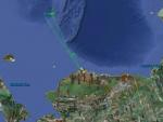
Larger image (new window) Download KMZ/KML File (right click, save as) |
Satellite ImageImage Unavailable MODIS/Aqua larger image (afternoon) - unavailable |
Satellite Images from goes-09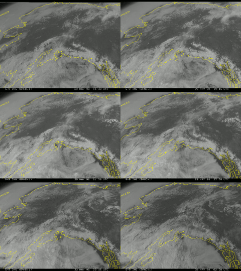
1830-0200 UTC |
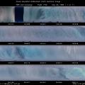
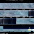
CAR - (QuickLook)
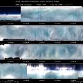
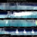
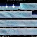
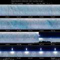
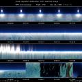
Imagery from CAR Instrument
Click browse image thumbnail to load more detailed version (images open in a new window)
| Flight Direction | Flight Direction |
 |
 |
 |
 |
 |
 |
 |
 |
 |
Flight Mission Details
Flight from Barrow to SHEBA ice station, where the CV-580 was coordinated with the NASA ER-2 for a two hour period where both aircrafts flew a coordinated crossing pattern. The arctic stratus en route was uniform for most of the flight out to SHEBA, with blue sky above. During most of this transit the CAR was scanning in the nadir viewing mode with the filterwheel locked at 2.2 µm. The Eppley pyranometers indicated a cloud albedo of 0.63. Later, the stratus layer appeared to thin somewhat with cloud streets perpendicular to the flight track, with a moderate haze layer aloft and uniform stratocumulus below. Cirrus subsequently appeared with corresponding halos. The CAR scanned the overlying cirrus in the zenith scanning mode.
For the ER-2 coordination over the SHEBA ice station, the CAR operated above cloud in the nadir scanning mode, which provides an excellent intercomparison opportunity for the CAR and ER-2/MAS. The Eppley pyranometers indicated the cloud albedo was 0.73 at the time. The clouds near SHEBA were more structured and layered than those observed earlier in the flight, but were relatively uniform on top during the ER-2 overflight. SHEBA reported 1.5 mile visibility and precipitation. The CV-580 then descended and reversed course, this time flying a parallel ground track in the cirrus at the time and heading of the ER-2. This flight line was in the principal plane of the sun (heading of 169°/349°). Following this flight line, the CV-580 flew an east-west flight line coordinated with the ER-2 (heading of 79°/259°). The top of the clouds was at 14000 ft, and a subsun was observed on the starboard (towards the sun). The CAR operated in a starboard scanning mode. Short columns were observed on the CPI.
Flight Path, Timing, and Measurements
Flight from Barrow to SHEBA; climbed out through stratus cloud layer. Switched CAR to nadir imaging mode over stratus.
824: breaking stratus, 0.3 µm smooth, other channels see structure of cloud, pretty isotropic. Uniform altocumulus below on transit to SHEBA, no upper layer cloud. Eppley reading 0.63.
2211: haze above us, altocumulus thinning, flying to bands.
4600: little haze above, uniform stratocumulus below.
4900: cirrus above and halo is visible, few more holes in cloud layer on left.
6800: ice crystals shown from above.
7100: approaching ship, cirrus above.
7300: thick cirrus above switch to zenith mode. Multi-layer cloud at SHEBA. 1.5 mile visibility at cirrus.
8100: mostly blue sky, switching back to nadir imaging mode, very thin cirrus above at 22,000 ft. Optically thin uniform stratus below (probably multiple cloud layers), column precipitation from above (CPI).
8700: clear now.
9300: cleared all cirrus, rotate nose to BRDF mode, uniform stratus, in Russian FIR (about 172 degree West and 76.56 latitude).
10500: back to nadir scan prepare for ER-2 coordination, more broken cloud near SHEBA.
11615: clear sky above uniform cloud, ER-2 ground tracks over SHEBA. One flight leg above cloud aligned with ER-2 overpass, uniform clouds below. Nadir viewing mode. MAS/CAR calibration at 21911 ft (NorthWest to SouthEast track). Ac = 0.73.
12075: over SHEBA.
12270: switch to 1.6 µm, cirrostratus nebulosis. Banded cirrus.
12800: more structured cloud near SHEBA ship .
12980: descend, reverse course under ER-2, uniform radiation . In cirrus for second ER-2 leg.
13610: over SHEBA. Flights into and away from principal plane.
14300: east leg in crossing patterns, top of clouds 14,000 ft, subsun off right wing, righthand (starboard mode), scan near the principal plane (Sun), short columns.
16860: 90° scanning between cloud layers, scan in principal plane, diffuse anomaly from other clouds (cirrus and stratus).
19300: 6 circles (4 at 1.6 µm, 2 at 2.1 µm). BRDF scan (5 circles) and standard scan (1.5 circles). Isotropic field .
27000: transit back, nadir scanning mode, on atomatic filterwheel mode. In haze layer.
Return cruise at 130 m/s, BRDF 95 m/s. BRDF mode, homogeneous cloud. BRDF orbit is 2000 ft above cloud .
28400: locked on 2.2 µm, altitude 12,000 ft, featureless altocumulus or stratocumulus translucidus, no cloud layer above. Glory observed in cloud (visual and CAR measurements), very isotropic. After standard mode, descend through cloud on return to Barrow. Frost on SSFR whole flight (inside dome).

