1998-06-01 (Flight #1758) |
Aircraft Flight SummaryDate: 1998-06-01 |
Flight Track Map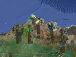
Larger image (new window) Download KMZ/KML File (right click, save as) |
Satellite ImageImage Unavailable MODIS/Aqua larger image (afternoon) - unavailable |
Satellite Images from goes-09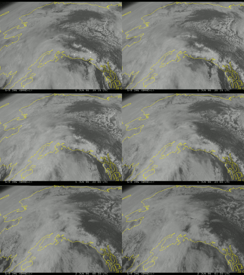
1915 - 0130 UTC |
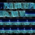
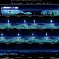
CAR - (QuickLook)
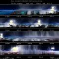
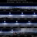
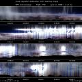
Imagery from CAR Instrument
Click browse image thumbnail to load more detailed version (images open in a new window)
| Flight Direction | Flight Direction |
 |
 |
 |
 |
 |
 |
 |
 |
Flight Mission Details
Made 2 BRDF measurements (over tundra and cirrus cloud) near the ARM site.
Flight Path, Timing, and Measurements
The flight started at 20:07 (UTC) with clear skies (10% cloud cover). Initially the CAR was set scanning downwards (position1) and a test of the auto rotating filter wheel revealed continuing noise problems.
Soon after the start of the flight a BRDF measurement was attempted over the ARM site. Ground cover was open tundra, partially snow covered (~50%). The decision was made to fly around a constant location. Moderate wind in the area meant that maintaining a constant roll angle was not trivial for the pilots. For the 10 loops the roll angle varied (often) between -1° and 28°. Most often the roll angle was between 9° and 25° (scans 2807-5177) (hi-resolution version: ).
On completing the first BRDF, there was a problem with the CAR positioning system. The CAR was stuck in the BRDF mode (position 3) and frequent attempts to re-position the CAR failed. As a result all measurements were taken in the BRDF position. There is a question over the value of the data collected.
A second BDRF measurement was made over cirrus cloud while the aircraft flew at 27500 ft. 10 loops were made over the cloud, which thinned during the measurement. At the completion of the loops the ground was clearly visible through the cloud.

