1998-06-02 (Flight #1759) |
Aircraft Flight SummaryDate: 1998-06-02 |
Flight Track Map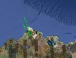
Larger image (new window) Download KMZ/KML File (right click, save as) |
Satellite ImageImage Unavailable MODIS/Aqua larger image (afternoon) - unavailable |
Satellite Images from goes-09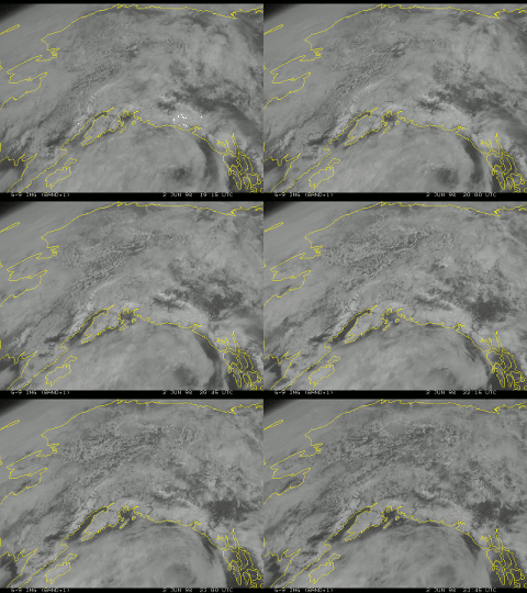
1915 - 2345 UTC |
CAR - (QuickLook)
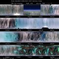
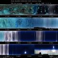
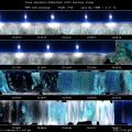
Imagery from CAR Instrument
Click browse image thumbnail to load more detailed version (images open in a new window)
| Flight Direction | Flight Direction |
 |
 |
 |
 |
 |
 |
Flight Mission Details
The measurements for this flight were taken over the ARM site. There were several straight runs over the ARM site and 10 circles of BRDF measurements. The CAR started out scanning downward through the nadir with cumulus clouds patchy at times. The CAR was switched to zenith scanning mode flying through a stratocumulus cloud layer and then scanning clear sky. The last part of the flight consisted of 10 circles above the stratocumulus cloud layer for BRDF measurements.
Flight Path, Timing, and Measurements
20:19 (scan 12) the CAR was in nadir scanning mode (position 1) and 2.2 µm (filter wheel 5) scanning the broken cumulus below.
20:28 there is a patchy stratocumulus cloud layer below, the surface showing through is 50 percent exposed tundra and 50 percent ice
20:30 over the ARM site and heading NW at 6100 ft GPS altitude.
20:33 testing automatic filterwheel.
20:36 layer of altocumulus clouds above, over ice covered surface.
20:40 cleared main altocumulus layer, thin layer of cirrus above, leveling off at 7160 ft .
20:52 CAR scanning down at the patchy stratocumulus clouds over the sea ice .
20:55 Over the ARM site .
21:03 clearing the edge of the altostratus we had been flying over, cloud base 4156 ft 21:05 GPS altitude 4700 ft, large leads partially melted.
21:11 CAR in nadir scanning mode (position 1) and scanning down at partially exposed tundra below .
21:16 passed over the ARM site and crossed the ER2, first year sea ice.
21:22 two layers of broken strato cumulus above.
21:27 30 miles outside of ARM site, begin climb through stratocumulus layer.
21:34 between two cloud layers, albedo = .61.
21:35 switched to zenith scanning mode (position 1), in and out of stratocumulus cloud layer, with cloud layer above.
21:40 CAR in zenith position and scanning clear sky.
21:42 flying through the stratocumulus layer.
21:43 over Arm site heading SE at GPS altitude 5000 ft.
21:49 continuing to go in and out of the cloud layer.
21:53 BRDF mode.
21:56 start BRDF mode at 7100 ft , will do 10 BRDF circles.
22:00 the cloud layer that the BRDF measurements were being taken in.
22:08 switched to 1.6 µm (filterwheel 2) for remaining 5 circles at approx. 7200 ft.
22:20 CAR switched to nadir scanning mode (position 1) and looking down at exposed tundra.

