1998-06-09 (Flight #1764) |
Aircraft Flight SummaryDate: 1998-06-09 |
Flight Track Map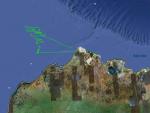
Larger image (new window) Download KMZ/KML File (right click, save as) |
Satellite ImageImage Unavailable MODIS/Aqua larger image (afternoon) - unavailable |
Satellite Images from goes-09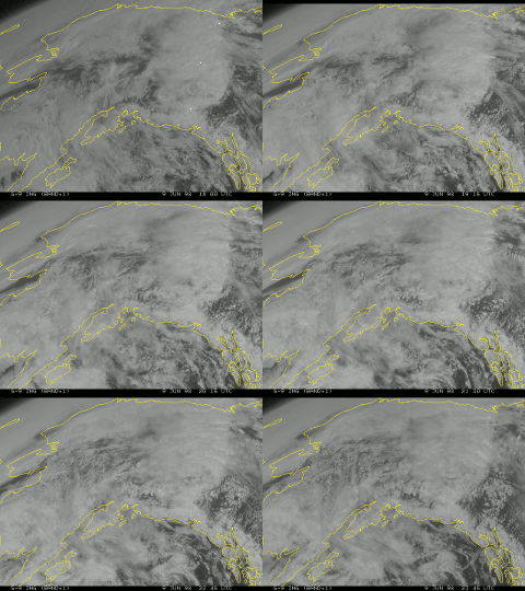
1800-2345 UTC |
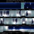
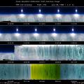
CAR - (QuickLook)
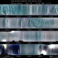
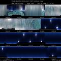
Imagery from CAR Instrument
Click browse image thumbnail to load more detailed version (images open in a new window)
| Flight Direction | Flight Direction |
 |
 |
 |
 |
 |
 |
 |
Flight Mission Details
Flew straight line paths in and around stratus cloud over sea ice. There was a partially successful attempt at diffusion domain measurements. Also conducted BRDF measurement over uniform stratus cloud.
Flight Path, Timing, and Measurements
At the beginning of the flight we flew out to a region of uniform stratus cloud over the sea ice for a 20 mile straight line run (starting scan 3200). During the flight out a clear glory was noted on the cloud beneath the cloud. During the run the cloud noticeably thinned to the extent that that surface was occasionally visible.
In preparing for the initial run, the cloud was definitely thick enough for diffusion domain measurements (neither the ground nor the sun were visible from deep within some sections of the cloud). Following the large run we returned for an attempt at diffusion domain measurements, however the diffusion domain proved to be more elusive than expected. The following scan regions seemed to be the most likely candidates for diffusion domain; 5559-5616, 5725-5770, 5790-5900.
Following this we performed measurements around an aerosol layer with runs above and beneath the aerosol layer. And following this we performed a BRDF measurement over uniform stratiform cloud in the oceanic area where previous measurements were performed. Roll angle during the measurement varied between 18° and 20°.
TABLE
TABLE
Following these measurements the cloud situation was no longer optimal for measurements, and the aircraft returned to Barrow.

