1998-06-04 (Flight #1767) |
Aircraft Flight SummaryDate: 1998-06-04 |
Flight Track Map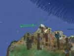
Larger image (new window) Download KMZ/KML File (right click, save as) |
Satellite ImageImage Unavailable MODIS/Aqua larger image (afternoon) - unavailable |
Satellite Images from goes-09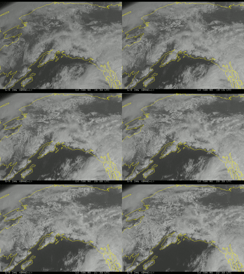
1830-2230 UTC |
CAR - (QuickLook)
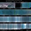
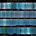
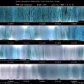
Imagery from CAR Instrument
Click browse image thumbnail to load more detailed version (images open in a new window)
| Flight Direction | Flight Direction |
 |
 |
 |
 |
 |
 |
Flight Mission Details
The main purpose of this mission was in situ cloud profiling. The CV-580 spiral descended through a cloud around an alpha point, ascended to a beta point within another cloud, spirally descended around the beta point, ascended to the alpha point, etc. CAR did downward imaging during cloud profiling, with the filterwheel channel alternating between the 1.6 and 2.2 µm channels.
Flight Path, Timing, and Measurements
19:12 UTC engine start
19:18 take-off; filterwheel set to 1.6 µm
19:25 cumulonimbus off of starboard
19:30 shift from upward imaging position to downward imaging position, over open water , albedo is 0.09
19:31 switch filterwheel to 2.2 µm channel, slight fog over water and ice ; only very thin stratus below
Scan count 1792 (19:39 UTC) fog over broken ice, under cumulonimbus
1889 switch filterwheel to 1.6 µm channel, albedo is 0.59
2218 thundercloud (occur only 2% per year in the Arctic) off of port side, albedo is 0.63
2520 switch filterwheel to 2.2 µmchannel, albedo is 0.68; cannot see surface
3860 switch filterwheel to 1.6 µm channel, albedo is 0.60; still cannot see surface
4498 rising in altitude to 2000 ft. above cloud deck.
4647 sun is visible, altitude is 2200 ft., above all clouds, except a few cirrus
4900 highest altitude of 2300 ft., starting spiral descent through the cloud .
5582 sea ice, altitude is 100 ft., albedo is 0.62.
5680 switch to 2.2 µm channel for second ascent through the clouds
6378 cannot see surface well; albedo is 0.60
8094 slight haze layer. albedo is 0.58; altitude is 2158 ft.
8275 begin slow spiral descent again
8344 switch filterwheel to 1.6 µm channel
8466 enter cloud at 1100 ft.
8730 surface ice at 300 ft. , cloud base at about 700 ft.
9300 into our ascent through the cloud
10000 200 ft. above sea ice , albedo is 0.45
10240 We are doing circles at cloudbase here, 250 ft. above sea ice; albedo is 0.52
10680 altitude is 1000 ft., albedo is 0.68; Ground is barely visible here. Begin spiral ascent to 1000 ft. above cloud, then descend.
10980 altitude is 2700 ft.
11030 switch filterwheel to 2.2 µm channel
11111 albedo is 0.58, altitude is 2450 ft.
11450 begin spiral to ground, unexceptional haze layer near cloud top :
11838 begin climb from the ground
12540 Decision is made to not do BRDF measurements of ice clouds today. Cloud Particle Imager (which would have given three-dimensional images of crystals) is not functional.
13558 Begin flying to about 500 ft. above cloud top
15584 Last scan

