1998-06-19 (Flight #1769) |
Aircraft Flight SummaryDate: 1998-06-19 |
Flight Track Map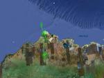
Larger image (new window) Download KMZ/KML File (right click, save as) |
Satellite ImageImage Unavailable MODIS/Aqua larger image (afternoon) - unavailable |
Satellite Images from goes-09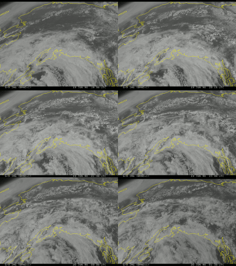
1900 - 0130 UTC |
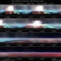
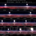
CAR - (QuickLook)
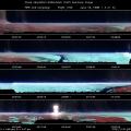
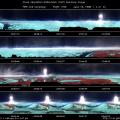
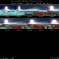
Imagery from CAR Instrument
Click browse image thumbnail to load more detailed version (images open in a new window)
| Flight Direction | Flight Direction |
 |
 |
 |
 |
 |
 |
 |
Flight Mission Details
The CV-580 attempted to profile cirrus clouds on this flight. During this flight, the CAR performed a BRDF of a cirrus cloud, and also flew above the ARM site at Barrow. The CAR filterwheel channel was alternated between the 1.6 and 2.2 µm channels. The quality of the BRDF is probably not optimal, as contrail contaminated about half the measurements.
Flight Path, Timing, and Measurements
21:03 UTC take-off; filterwheel set to 1.6 µm channel, scan line 72 is approximate first recorded scan.
21:14-21:15 sea ice , halo .
1355 tundra with frozen ponds .
2482 moved over sea ice, starting to move towards land
3507 temperature is 42°C, lots of ice on top of SSFR dome. Albedos are suspect now-radiometers have never been calibrated at temperatures this low. We are 1500 ft. above cloud level. BRDF of cirrus:
5390 CV-580 moving to avoid scruffy altocumulus clouds.
6725 Beginning of turn 1. Filter wheel set to 1.6 µm channel.
7057 We just passed through our contrail.
7082 Beginning of turn 2.
7118 Contrail puff visible.
7244 We just passed through a big contrail puff.
7283 Cirrus in center of circle of right wing.
7397 Big contrail.
7428 Beginning of turn 3.
7445 Extended contrail puff. Northwest corner of circle is invisible cirrus above us, with small halo.
7605 CLEAR (no cirrus above, no contrail contamination either)
7740 We are 1500 ft. above cloud, spending about half our time in contrail.
7748 Beginning of turn 4.
7801 Invisible cirrus above us again (small halo).
7862 Clear of higher cloud.
7974 Altitude is 30,400 ft.
8068 Beginning of turn 5.
8088 We're making lots of circles of contrail.
8207 Heavy, natural cirrus above right wing now.
8397 Beginning of turn 6. Filter wheel set to 2.2 µm channel.
8714 Beginning of turn 7.
9040 End of turn 7; remaining turns cancelled (too much contamination)
9088 We're flying below contrail now (50 ft. below previous altitude).
9574 surface below us at end of BRDF measurements out the portside window (starboard bubble frosted over).
12540 Just passed over the ARM site 1 minute ago.
13032 Begin descent into clouds, altitude 28,400 ft.
15076 altitude is 21,400 ft. Now spiraling down over ARM site, trying bank at +20° whenever possible so we can capture as much as possible with the CAR in BRDF mode.
15928 by ARM site, altitude is 18,240 ft., albedo is 0.24 (not corrected for angle).
17307 Pass over ARM site now, start spiral (albedo is 0.31).
18062 Change filterwheel to 1.6 µm channel.
19687 : Buildings around Barrow, ARM site?

