1998-06-22 (Flight #1770) |
Aircraft Flight SummaryDate: 1998-06-22 |
Flight Track Map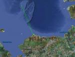
Larger image (new window) Download KMZ/KML File (right click, save as) |
Satellite ImageImage Unavailable MODIS/Aqua larger image (afternoon) - unavailable |
Satellite Images from goes-09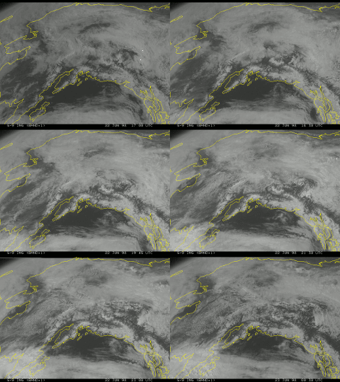
1700-0030 UTC |
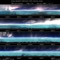
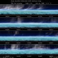
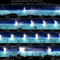
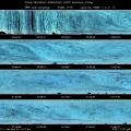
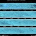
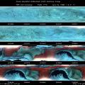
CAR - (QuickLook)
Imagery from CAR Instrument
Click browse image thumbnail to load more detailed version (images open in a new window)
| Flight Direction | Flight Direction |
 |
 |
 |
 |
 |
 |
 |
 |
 |
Flight Mission Details
The CV-580 went to SHEBA on this flight. During this flight, the CAR performed a BRDF of sea ice with light diffused by cirrus clouds, and also did downward imaging of sea ice during the latter part of the flight. The CAR filter wheel channel was alternated between the 1.6 and 2.2 µm channels. The quality of the BRDF is probably good.
Flight Path, Timing, and Measurements
18:00 UTC engine-start, scan line 95 was the approximate first recorded scan, filterwheel set to 1.6 µm channel
500 rotate CAR to BRDF position
800 sea ice
The plan is to go to SHEBA (420 nautical miles out), descend in circles over the ship, do BRDF circles, and return to Barrow.
1192 more sea ice (it seems darker than before)
2200 We've been flying in wispy ice clouds for about 10 minutes; some shadows on the ice below.
2480 : halo
2630 As in previous flights, our flight path has been going straight down the middle of a break in clouds; port-side clear, starboard-side somewhat cloudy and foggy.
2805 clouds moving into our flight path now
3642 : sea ice
7540 : Kelvin-Helmholtz waves
7690 cirrus above us (altitude approx. 25,000 ft.) seem to have dissipated; altitude of aircraft is 18,000 ft.
9340 : cirrus clouds off starboard
9900 report from SHEBA: clouds are between 17,000 and 23,500 ft., altitude of aircraft is 19,500
10130 beginning downward spiral
10400 sea ice , We occasionally pass through cirrus. Altitude is 14,000 ft.; albedo is 0.55.
10680 SHEBA (slightly right of center) and surrounding ice .
10900 SHEBA ; GPS altitude is 7300 ft., albedo is 0.40.
11255 Switch filterwheel to 2.2 µm channel.
BRDF measurements; cirrus is dispersing about 95% of direct beam:
11600 Beginning of turn 1
11820 Beginning of turn 2
12040 Beginning of turn 3; sea ice at 12,300 ft .
12252 Beginning of turn 4
12449 Beginning of turn 5; sky more clear here, beginning of turn 6 not announced.
12860 Beginning of turn 7
13094 Beginning of turn 8; switch filter wheel to 1.6 µm channel.
13313 Beginning of turn 9; we'll have drifted about 9 miles during BRDF loops.
13512 Beginning of turn 10; top SSFR dome still has condensation inside.
13730 End of turn 10
Start descent to criss-cross over SHEBA; altitude is 2045 ft.
14800 Switch to downward imaging mode
16200 Switch filterwheel from 2.2 µm channel to 1.6 µm channel. From this point on, the filterwheel channel is switched between 1.6 µm and 2.2 µm channels approximately every 1000 scan counts.
27350 sea ice around Barrow
27775 Barrow under cirrus
28647 varied scene below with water, ice, and tundra, with clouds covering about 1/3 of the scene. Really dark areas seem to correspond to water.
29040 Barrow, with some wisps of cloud.
30363 Last scan, Landing at 23:20 UTC

