1998-06-23 (Flight #1771) |
Aircraft Flight SummaryDate: 1998-06-23 |
Flight Track Map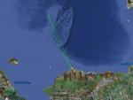
Larger image (new window) Download KMZ/KML File (right click, save as) |
Satellite ImageImage Unavailable MODIS/Aqua larger image (afternoon) - unavailable |
Satellite Images from goes-09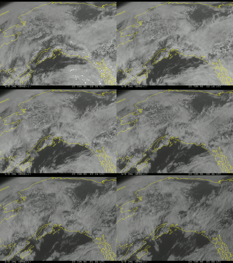
2030-0300 UTC |
CAR - (QuickLook)
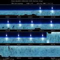
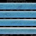
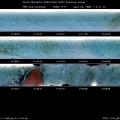
Imagery from CAR Instrument
Click browse image thumbnail to load more detailed version (images open in a new window)
| Flight Direction | Flight Direction |
 |
 |
 |
 |
 |
 |
 |
Flight Mission Details
The CV-580 went to SHEBA on this flight, during the best (only?) extremely clear day during the entire experiment. During this flight, the CAR performed a BRDF of sea ice with direct sunlight , and also did downward imaging of sea ice during the latter part of the flight. The CAR filterwheel channel was alternated between the 1.6 and 2.2 µm channels. The quality of the BRDF is probably very good. However, the data recording system froze when the CAR filterwheel was set to automatically advance. There are two data tapes for this flight.
Flight Path, Timing, and Measurements
21:20 UTC engine-start; Scan count 75: approximate first recorded scan, CAR in upward imaging mode
Data collection stopped: Recording halted (Important to remember buffer period at beginning)
Restart data collection at scan count 195
1068 rotate car to BRDF position
1355 sea ice, with banded clouds below. Some ice appears dirty brown.
5609 haze layer transported by gravity waves from Europe
7011 sea ice
7778 sea ice (blue melt ponds, some open water, patchwork pattern)
Larry Radke question: Do freshwater and brine ponds have different emissivities?
10029 haze top showing
10080 lots of aerosol here
10321 no cirrus, so far an unusually clear day
BRDF measurements of sea ice with a clear sky:
10456 Beginning of turn 1; filterwheel set to 2.2 µm channel
10699 Beginning of turn 2
10799 sea ice below
10900 Beginning of turn 3
11058 SHEBA LIDAR reports absolutely clear sky above
11103 Beginning of turn 4
11284 sea ice below; with some haze 2000 ft., the few wisps of contrail should not be a factor
11323 Beginning of turn 5
11524 Switch filterwheel to 1.6 µm channel
~11600 Interrupt BRDF circles to center more over the ship
11840 Beginning of turn 6
11963 Beginning of turn 7
11997 sea ice
12171 Beginning of turn 8
12367 Beginning of turn 9
12441 sea ice
12582 Beginning of turn 10
12792 Beginning of turn 11
13000 End of turn 11; switch filterwheel to 2.2 µm channel
13059 Rotate CAR to downward imaging position
13317 Switch filterwheel to 1.6 µm channel
14450 Attempt automatic filterwheel scanning mode
17542 No pparent noise problem-getting smooth signal
17600 and starboard and portside views (hazy, white)
18709 banded cloud structure above ice
19050a portside view of banded structure, ending in distance.
19050b small stratus deck shading clouds below
20124 filterwheel channel 6 (channel 13) has been really noisy
20352 Recording stopped (frozen) at 1:13:52.9 UTC
New scan count 28, ~1:33 UTC. Taping RESTARTED. Brown ice in 3:00 direction from plane.
325 brown ice below us under left wing, with streaks of stratus below us
480 : some brown ice in center of picture
2645 Final scan, 2:00:53.7

