1998-06-24 (Flight #1772) |
Aircraft Flight SummaryDate: 1998-06-24 |
Flight Track Map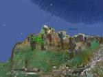
Larger image (new window) Download KMZ/KML File (right click, save as) |
Satellite ImageImage Unavailable MODIS/Aqua larger image (afternoon) - unavailable |
Satellite Images from goes-09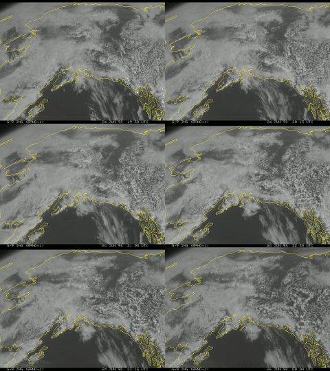
1930-0000 UTC |
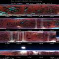
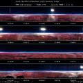
CAR - (QuickLook)
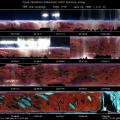
Imagery from CAR Instrument
Click browse image thumbnail to load more detailed version (images open in a new window)
| Flight Direction | Flight Direction |
 |
 |
 |
 |
 |
Flight Mission Details
The CV-580 hunted cirrus on this flight. During this flight, the CAR performed a BRDF of a cirrus cloud, probably the cleanest (least contaminated by contrails and shadows) during the entire experiment. The CAR also did downward imaging of tundra and ice/melting ponds during the latter part of the flight. The CAR filter wheel channel was alternated between the 1.6 and 2.2 µm channels. The quality of the BRDF is probably very good. However, the data recording system froze when the CAR filter wheel was set to automatically advance near the beginning of the flight. There are two data tapes for this flight.
Flight Path, Timing, and Measurements
21:21 UTC engine-start, CAR rotated to downward imaging mode
474 tundra, sea, sea ice, and melt ponds
909 (20:35 UTC) drive status light still blinking normally, but scan number and scans on screen have frozen.
20:40 UTC arctic haze popping above cirrus deck to starboard
20:44 UTC brown ice on lake below
353 (20:57 UTC) screen back up and running after rebooting of primary processors. This strange freezing has happened only when the filterwheel has been set to automatic advancing mode (flight engineer Don Spurgeon's observation). From now on, we will stick to manual setting of filterwheel channels. Filterwheel set to 1.6 µm channel.
Prepare CAR for BRDF measurements:
2060 Don got CAR rotated to BRDF position, but not locked into position. Rotation might be half a degree off.
3166 altitude is 30,790 ft.-the highest the plane can go and still turn at all.
We will stagger the BRDF loops to avoid our contrails.
3500 Beginning of turn 1; filterwheel set to 1.6 µm channel; ground below is 40% lake coverage, no ice, and brown tundra. Cloud top is ~2000 ft. below us.
4002 Beginning of turn 2
4465 We just crossed our track-no plume or particles in our former path.
4521 Beginning of turn 3; ground as seen through frosted bubble at CAR station : brown tundra, 30% unfrozen ponds and lakes below.
4989 just crossed our path again-very clean
5045 Beginning of turn 4
5118 switch filterwheel to 2.2 µm channel
5500 just crossed our flight track again, very clean-most of our contrails have dissipated
5888 rolling out, headed west to find another cloud
5910 soot registered, but not necessarily from contrail
8760 at top of cloud
8785 switch filterwheel to 1.6 µm channel
9683 successfully switched to downward imaging position-locked in place (lights go on in both directions. If a light does not go on in one direction, it usually means that the rotating mechanism for the CAR is jammed badly enough so that it must be fixed on the ground.)
10565 sunglint off of ice pond to right causing saturation of signal
11435 brown ice and whiter ice off starboard
11700 brown ice
11909 water pond right below (to starboard)
12541 Rotated CAR to upward imaging mode for landing.

