2006-03-03 (Flight #1905) |
Aircraft Flight SummaryDate: 2006-03-03 |
Flight Track Map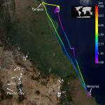
Larger image (new window) Image by Gala Wind, NASA GSFC Download KMZ/KML File (right click, save as) |
Satellite Image from MODIS-Aqua/Terra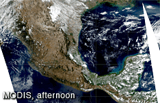
MODIS/Terra larger image (morning) - unavailable MODIS/Aqua larger image (afternoon) (new window) Imagery by Bill Ridgway, NASA GSFC |
Satellite Images from GOES-12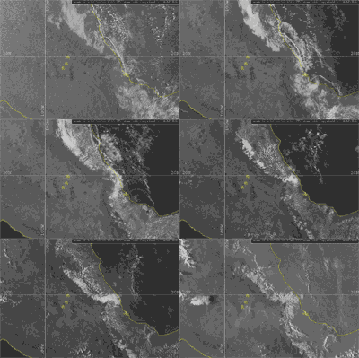 0015 - 2345 UTC |
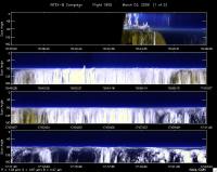
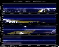
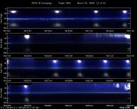
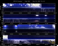
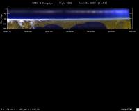
CAR - (QuickLook)
Imagery from CAR Instrument
Click browse image thumbnail to load more detailed version (images open in a new window)
Images by Tom Arnold, NASA GSFC
| Flight Direction | Flight Direction |
|
|
|
|
|
|
|
|
Flight Mission Details
By Dr. Philip Russell
This was the first J31 flight out of Veracruz airport. Preflight goals focused on becoming familiar with air traffic control (starting on standard airways), underflying Terra and Aqua near and off the Gulf coast, and practicing communication/coordination with the King Air B200 if it was able to join J31.
CAR worked well start to end (on runway at takeoff until just before landing). No good BRDF science opportunities, but J31 did 5 BRDF circles to train for BRDFs (between 30 & 40 DME between 090 & 100 radial off Tampico VOR).
Flight Path, Timing, and Measurements
1620: Engines on
1643: Takeoff
1650: 5500’, 500’ above stratus deck, heading TAM (Tampico),
cloud top height variable
1718: 10500’, ascent to 10500 for visual of clouds, broken clouds below
1802: 14500 2-min RSP leg in cloud-free patch. Fairly dark ocean surface, AOD<0.01
1807: 14500’ return leg
1810: spiral descent to 200’
1824: 200’, 2-min RSP leg to retrace leg @ 14500’. Heading 180 again, some clouds over right wing
1833: Ascend to 2000’ for CAR circles
1834: Start CAR circles
1851: Start low-level leg towards home, clouds increasing
1901: Ascend to 6500’
1918: Descending to 200’
1924: 200’, heading towards VER
1931: Ascend to 10500’, RTB
1957: Touchdown
2003: Engines off
