2006-03-10 (Flight #1909) |
Aircraft Flight SummaryDate: 2006-03-10 |
Flight Track Map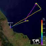
Larger image (new window) Image by Gala Wind, NASA GSFC Download KMZ/KML File (right click, save as) |
Satellite Image from MODIS-Aqua/Terra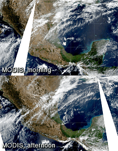
MODIS/Terra larger image (morning) (new window) MODIS/Aqua larger image (afternoon) (new window) Imagery by Bill Ridgway, NASA GSFC |
Satellite Images from GOES-12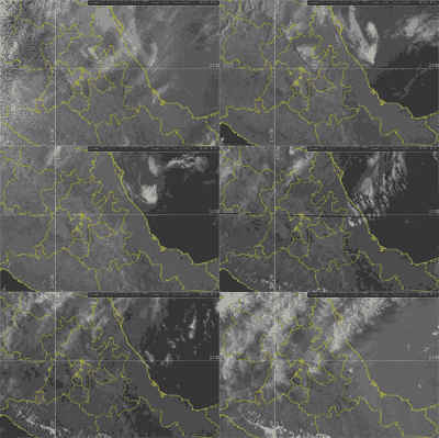 1302 - 2345 UTC |
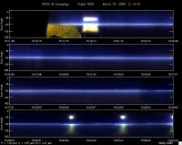
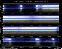
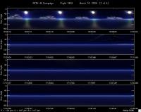
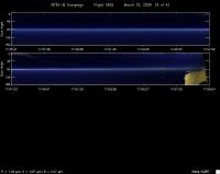
CAR - (QuickLook)
Imagery from CAR Instrument
Click browse image thumbnail to load more detailed version (images open in a new window)
Images by Tom Arnold, NASA GSFC
| Flight Direction | Flight Direction |
|
|
|
|
|
|
|
Flight Mission Details
By Dr. Philip Russell
Preflight goals focused on getting AOD & water vapor profiles and transects, SSFR fluxes, CAR circles, and RSP legs over the Gulf in or near the overlap between MISR local mode and MODIS-Terra glint-free swaths in the King Air lidar curtain. This included a J-31 spiral coordinated with a C-130 spiral.
CAR: OK. No problems start to end. Lots of cirrus. Expect interesting comparisons to RSP. Principal vs perp plane. No BRDFs on this flight. No very clear slot.
Flight Path, Timing, and Measurements
1456: Engines on
1515: Take off
1517: Ascend to 15500’ en route to 1st waypoint
1534: Some Ci in AATS data. Adjusted point 2 because of clouds
1552: Spiral descent to 200’, some wispy Ci clouds, not visible in AATS data. Aerosol top in spiral is ~3 km
1608: End of spiral. Strong winds, whitecaps
1619: 200’ completely clear over solar disk
1622: 200’ Ci over right wing
1627: 200’ possible Ci
1633: King Air over WP 4
1635: C-130 over WP 4
1639: 200’ straight for RSP leg
1640: 200’ turn around for WP 4
1646: short Ci blip in AATS data
1659: 15000’ top of spiral, heading 133 deg in principal plane
1700: start RSP leg in principal plane
1711: right turn across principal plane
1714: 16500’ ascend for RTB
1750: Ramp descent into VER, continuous AATS trace
1800: Land
1804: Engine off
