2006-03-11 (Flight #1911) |
Aircraft Flight SummaryDate: 2006-03-11 |
Flight Track Map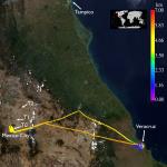
Larger image (new window) Image by Gala Wind, NASA GSFC Download KMZ/KML File (right click, save as) |
Satellite Image from MODIS-Aqua/Terra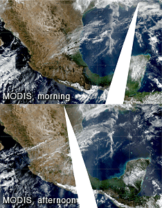
MODIS/Terra larger image (morning) (new window) MODIS/Aqua larger image (afternoon) (new window) Imagery by Bill Ridgway, NASA GSFC |
Satellite Images from GOES-12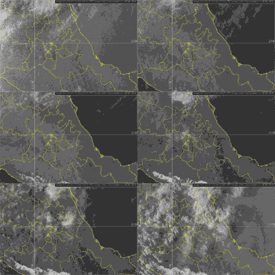 1302 - 2345 UTC |
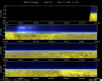
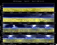
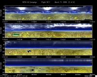
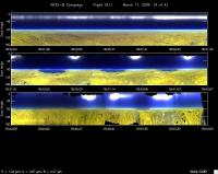
CAR - (QuickLook)
Imagery from CAR Instrument
Click browse image thumbnail to load more detailed version (images open in a new window)
Images by Tom Arnold, NASA GSFC
| Flight Direction | Flight Direction |
|
|
|
|
|
|
|
Flight Mission Details
By Dr. Philip Russell
Preflight goals focused on characterization of urban albedo over the T0 site in Mexico City.
CAR: No issues, start to end. Good data.
Flight Path, Timing, and Measurements
1547: Engines on
1612: Take off. Climb to 16000’ on 300deg heading for first leg Lots of haze over coastal plain. AATS says ~0.3. No cirrus.
1716: Arrive Mexico City
1717: Start CAR circles @ 16,000’
1728: End CAR circles @ 16,000’
1731: Start CAR circles @ 14,000’
1743: End CAR circles @ 14,000’
Rest of pattern scrubbed because there is too much cirrus over MC Return to VER and do AATS spiral over airport down to 1 kft.
1833: Start spiral
1845: End spiral. Broke off spiral because of traffic
1846: 2000’ Start CAR circles
1848: End CAR circles - too many birds
1853: Land
1900: Engine off
