2006-03-13 (Flight #1913) |
Aircraft Flight SummaryDate: 2006-03-13 |
Flight Track Map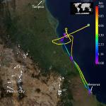
Larger image (new window) Image by Gala Wind, NASA GSFC Download KMZ/KML File (right click, save as) |
Satellite Image from MODIS-Aqua/Terra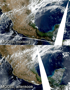
MODIS/Terra larger image (morning) (new window) MODIS/Aqua larger image (afternoon) (new window) Imagery by Bill Ridgway, NASA GSFC |
Satellite Images from GOES-12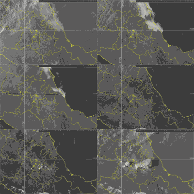 1303 - 2345 UTC |
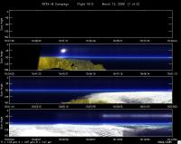
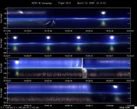
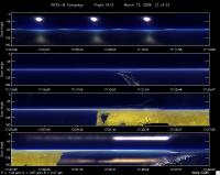
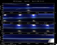
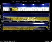
CAR - (QuickLook)
Imagery from CAR Instrument
Click browse image thumbnail to load more detailed version (images open in a new window)
Images by Tom Arnold, NASA GSFC
| Flight Direction | Flight Direction |
|
|
|
|
|
|
|
|
Flight Mission Details
By Dr. Philip Russell
Preflight goals focused on the MODIS/Glory Glint Scenario: executing RSP legs, SSFR flux divergence legs, AOD & water vapor profiles and transects, and CAR circles over the Gulf in the MODIS swath of small glint angles near the Tampico and Tamihua AERONET sun/sky photometers.
CAR worked well.
Flight Path, Timing, and Measurements
1519: Engines on
1540: Take off
1542: 16500 ft, heading for pt. 2
1600: 16500 ft, stratus deck below
1620: Ci to the N, looking for clear spot, spiral descent to 200 ft in clear spot S of 2
1640: 200 ft, started low level leg, heading 60 deg
1645: 1500 ft, up to avoid low level cloud
1658: 200 ft, coming up on another cloud band, spiral up to avoid cloud band, AOD gradient
1700: spiral ascent to 12000 ft
1722: Terra overpass
1712: 12500 ft, level for RSP leg, extensive Ci over right wing, some Ci over left wing, extending 6 nmi over land
1740: 12500 ft, maneuvering to set up RSP princ. Plane
1747: 12500 ft, RSP leg in principal plane
1754: 12500 ft, maneuvering for clear spot
1800: spiral descent to 200 ft
1810: 200 ft, leg for AOD gradient
1816: 2000 ft, start CAR circles, clouds to N, 1 big contrail during 2nd CAR circle, straight above
1824: 2000 ft, heading for VER, plan to look at low cloud deck
1838: top of cloud deck ~1800 ft, AOD ~0.17
1841: 2000 ft, CAR circles above cloud deck, 2.5 circles, straight at cloud top, 0.41 km, AOD. ~0.18, RTB. Major plume over right wing
1914: Land
1920: Engine off
