2006-03-15 (Flight #1914) |
Aircraft Flight SummaryDate: 2006-03-15 |
Flight Track Map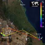
Larger image (new window) Image by Gala Wind, NASA GSFC Download KMZ/KML File (right click, save as) |
Satellite Image from MODIS-Aqua/Terra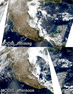
MODIS/Terra larger image (morning) (new window) MODIS/Aqua larger image (afternoon) (new window) Imagery by Bill Ridgway, NASA GSFC |
Satellite Images from GOES-12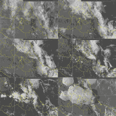 |
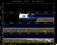
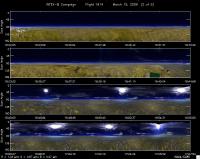
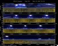
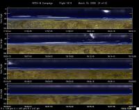
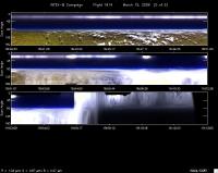
CAR - (QuickLook)
Imagery from CAR Instrument
Click browse image thumbnail to load more detailed version (images open in a new window)
Images by Tom Arnold, NASA GSFC
| Flight Direction | Flight Direction |
|
|
|
|
|
|
|
|
Flight Mission Details
By Dr. Philip Russell
Preflight goals focused on characterizing urban albedo and aerosols over Mexico City.
CAR worked well for most part. However, CAR computer crashed on landing.
Flight Path, Timing, and Measurements
1525: Engines on
1548: Take off
1709: Terra overpass
1917: Land
1921: Engine off
Narrative: Flew transit above broken cumulus over coastal plain. Clear above, got principal plane data for RSP. Clear at point REXES and til 20 mi from MC—then patchy cirrus. Smoke plume to N—separate from MC, J-31 at 16 kft.
Arrived MC T0 2 min ahead of planned time. Held for 5 min by ATC. Patchy cirrus. Too much cirrus for good AOD profile. ATC holds at several altitudes. Min alt 9.5 kft. RSP triangle stayed S of Santa Lucia airspace. Albedo may be marginal. Low alt. leg to pt 5. Terrain increases up to 8200’, J-31 climbed, too. Pt 5 terrain too rough to descend for AATS spiral. Came up for CAR orbit at 9500 ft—2 orbits. Terminated because too much cirrus. Then profile up, 3.1 km to 5.25 km cirrus-free for AATS. Largest AOD ~0.12. Leg back over low leg to T0, 16.5 kft. Put in hold for 2 min. Then NW to pt 8 for rendezvous w King Air. Ascended to be above aerosol. Ended 6.45 km. W-E leg excellent coord w King Air—really good data, cirrus-free. Direct return home, mostly cirrus-free, few thin ci near Veracruz. Good RSP data. Headed for nice stratus deck over ocean, out 19 nmi, descended over cloud deck & then landed. Start 9.5kft, down to 8.8 kft, clear layer, another cloud layer between 8 and 7.2. AATS parked before entering cloud. Little AOD above cloud.
Good surface polarized reflectance in MC—good for color in spite of cirrus. Excellent RSP data in transit legs on aerosols below J-31.
Coordination with King Air excellent. Pilots adjusted speeds to get desired timing over T0.
Coordination on E-W leg also excellent.
Transect started W of plume, went across plume to E, ended up at 20 kft, 6.45 km.
