2006-03-18 (Flight #1916) |
Aircraft Flight SummaryDate: 2006-03-18 |
Flight Track Map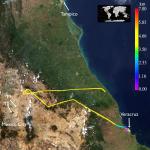
Larger image (new window) Image by Gala Wind, NASA GSFC Download KMZ/KML File (right click, save as) |
Satellite Image from MODIS-Aqua/Terra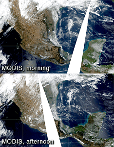
MODIS/Terra larger image (morning) (new window) MODIS/Aqua larger image (afternoon) (new window) Imagery by Bill Ridgway, NASA GSFC |
Satellite Images from GOES-12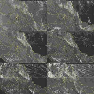 1302 - 2332 UTC |
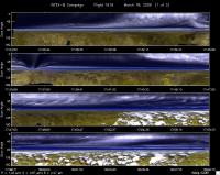
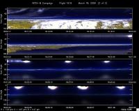
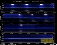
CAR - (QuickLook)
Imagery from CAR Instrument
Click browse image thumbnail to load more detailed version (images open in a new window)
Images by Tom Arnold, NASA GSFC
| Flight Direction | Flight Direction |
|
|
|
|
|
|
Flight Mission Details
By Dr. Philip Russell
Preflight goals focused on characterizing aerosols and surface albedo at T2 in coordination with Terra and aerosols and BRDF over the Gulf in coordination with Aqua.
CAR problems at start; computer & inst out of sync. Maybe because of abnormal shutdown yesterday. Up & running after ~40 min. Usable data including clouds. Lots of BRDF meas over Gulf. Interesting cloud-aerosol contrast in SWIR vs visible channels. Normal shutdown.
Flight Path, Timing, and Measurements
1623: Engines on
1634: AATS darks
1649: AATS unparked, acquiring good sun data, some scat Ci
1658: No Ci for last few minutes
CAR not working
1715: Ci ahead
1736: Extensive Ci—turned around—10 nm before T2
Need to allow extra 10-15 min to T2 to get there on time
1827: NNE of VER positioning for spiral down & CAR runs over area
1832: Begin spiral down at 1500’/min.?
Desired low leg leading to RSP: 30 to 35
1848: Bottom of spiral at 250’ AOD(520)~0.16
1849: Begin CAR maneuvers
1900: Complete CAR maneuvers; descend to 250’
1904: Begin principal plane run at ZGPS~150’ (190450 UT) AOD(520)~0.157
1908: Begin spiral up to 8500’ ~ record 2320? Had to cut horiz leg short due to Ci ahead; spikes in AATS data during spiral due to tracking, not Ci
1915-1919: (We are ~20 min from VER) High alt (2.7 km, 8500’) horiz run back along princ plane heading ~194.
1924-1930: RSP perpendicular run; crossed at 192530 UT
1940: Land. AOD(520) at VER 0.18
1943: Engine off
