2000-08-15 (Flight #1814) |
Aircraft Flight SummaryDate: 2000-08-15 |
Flight Track Map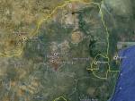
Larger image (new window) Image by U. Wash. |
Satellite ImageImage Unavailable MODIS/Aqua larger image (afternoon) - unavailable Imagery by NASA LaRC |
Satellite Images from Meteosat-7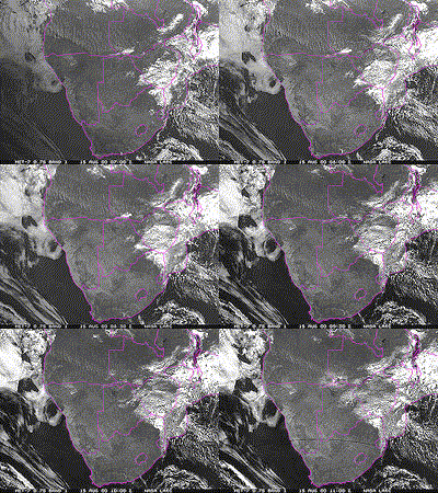 |
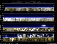
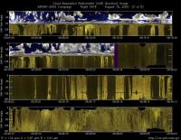
CAR - (QuickLook)
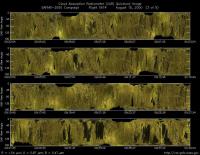
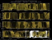
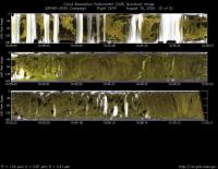
Imagery from CAR Instrument
Click browse image thumbnail to load more detailed version (images open in a new window)
Images by Jason Li, NASA GSFC
| Flight Direction | Flight Direction |
|
|
|
|
|
|
|
|
Flight Mission Details
By Peter Hobbs
by Peter Hobbs
Goals of Flight:
- Underfly Terra overpass (at 0822 UCT) at Skukusa, Kruger National Park, South Africa.
- Profile of boundary layer near Skukusa.
Accomplishments of Flight:
- Goals #1 and #2 accomplished.
- Also sampled two small plumes from grass fires and some cumulus clouds about 30 miles west of Skukusa.
Location:
- South-East from Pietersburg to the Skukusa Tower and Kruger National Park.
Weather Conditions:
- Broken small cumulus and stratocumulus clouds. Good visibility (about 50 nm).
Instrument Problems:
- DMT; J-W too high; some problems with CAR.
Flight Path, Timing, and Measurements
0705: Take off from Pietersburg, South Africa.
0705-0711: Climb to 9,000 ft.
0711-0748: Transit to Skukusa in free troposphere at 9,000 ft.
0748-0820: Descend to 100 ft asl 2 nm west of Skukusa.
0820-0838: Runs at 100 ft east-west close to Skukusa airport (Terra overpass at 0822 UTC; about 80% low cloud cover).
0838-0842: Head west 30 nm from Skukusa to find clearer skies for sunphotometer measurements. Climb to 3,000 ft.
0847-0947: Full suite of chemical and physical measurements at 3,000 ft. Measurements should be representive of well-mixed boundary layer. Visibility quite good because of easterly winds and marine air.
0947-1015: Sampled smoke from two small grass fires.
1015-1036: Some cloud penetrations.
1036-1039: Climb to 9,000 ft.
1039-1102: Transit to Pietersburg at 9,000 ft.
1102-1109: Descent to Pietersburg.
1109: Land Pietersburg, South Africa.
