2000-08-18 (Flight #1816) |
Aircraft Flight SummaryDate: 2000-08-18 |
Flight Track Map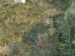
Larger image (new window) Image by U. Wash. |
Satellite ImageImage Unavailable MODIS/Aqua larger image (afternoon) - unavailable Imagery by NASA LaRC |
Satellite Images from Meteosat-7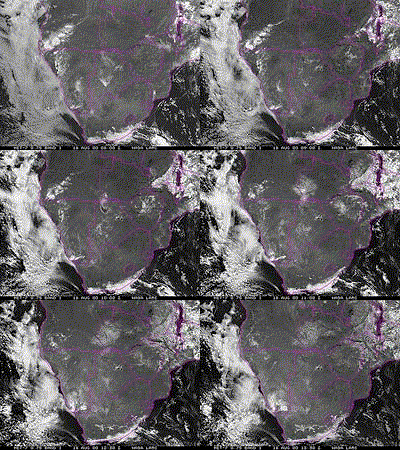 |
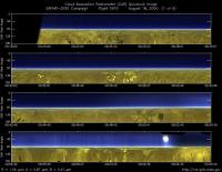
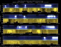
CAR - (QuickLook)
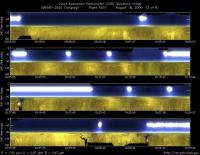
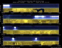
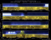
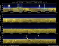
Imagery from CAR Instrument
Click browse image thumbnail to load more detailed version (images open in a new window)
Images by Jason Li, NASA GSFC
| Flight Direction | Flight Direction |
|
|
|
|
|
|
|
|
|
Flight Mission Details
By Peter Hobbs
by Peter Hobbs
Goals of Flight:
- Sample smoke from prescribed fire (24deg 39min 26.3sec S; 26deg 23min 18.6sec E) near Medikwe Game Reserve ( on South Africa-Botswana border).
Accomplishments of Flight:
- Partial profile of ambient air in target area prior to fire.
- Sampled vertical smoke column just after ignition. Thin smoke.
- Sampled across plume about 12.5 and 28 nm downwind. Thin smoke.
- Sampled along long axis of plume heading back toward fire.
- Sampled ambient air at 6,300 ft.
- Sampled much thicker smoke in vertical column over fire.
- Sampled thick smoke just below capping cumulus cloud.
- Measurements just above base of capping cumulus.
Location:
- WSW from Pietersburg to the Madikwe Game Reserve.
Weather Conditions:
- Clear.
Instrument Problems:
- HC can pump, aerosol pump, and scanning humidigraph malfunctioned about halfway during flight due to overheating.
Flight Path, Timing, and Measurements
0811: Take off from Pietersburg, South Africa.
0811-0850: Climb to 9,500 ft.
0850-0907: Descend to 6,000 ft 15 mins out from target area.
0907-?: Into target area at 6,000 ft plus descent over fire site with continuous chemical sampling in ambient air for filters etc. before fire was started.
?-1137: Chemical and physical sampling of vertical column over fire and older smoke downwind at about 12.5 and 28 nm downwind. Flew along axis of smoke plume back to fire in fairly thin smoke; fire much more active now than in earlier sampling over fire.
1137-1215: Ambient bag sampling for chemistry at 6,300 ft.
1224: Across thick smoke in vertical plume above fire at 6,000 ft. Bag sample for filters.
1240-?: Penetration of thick smoke column just below base of capping cumulus, followed by similar penetration just above base of cloud.
?: Descent to Pietersburg near top of boundary layer.
1333: Land Pietersburg, South Africa.
