2000-08-20 (Flight #1819) |
Aircraft Flight SummaryDate: 2000-08-20 |
Flight Track Map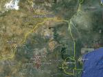
Larger image (new window) Image by U. Wash. |
Satellite ImageImage Unavailable MODIS/Aqua larger image (afternoon) - unavailable Imagery by NASA LaRC |
Satellite Images from Meteosat-7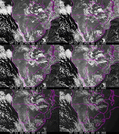 |
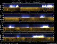
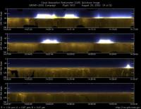
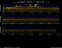
CAR - (QuickLook)
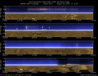
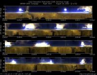
Imagery from CAR Instrument
Click browse image thumbnail to load more detailed version (images open in a new window)
Images by Jason Li, NASA GSFC
| Flight Direction | Flight Direction |
|
|
|
|
|
|
|
|
Flight Mission Details
By Peter Hobbs
by Peter Hobbs
Goals of Flight:
- Sample smoke from prescribed fire in Madikwe Game Reserve on South Africa-Botswana border (26 deg 40 min 32.5 sec S; 26 deg 14 min 08.2 sec E). Fire lit at 08:15 UTC.
Accomplishments of Flight:
- Full chemistry and physics on smoke from prescribed fire. Prescribed fire flared up during period on site. Many other fires in vicinity.
- Good ambient sampling on site and in transit flights.
- Passes beneath, in and above smoke plume (for radiometer measurements).
Location:
- WSW from Pietersburg to the Madikwe Game Reserve.
Weather Conditions:
- Scattered cumulus on take off; clear on landing. Many fires and smoky in target area.
Instrument Problems:
- CAR filter wheel plus not full rotation capabilities.
Flight Path, Timing, and Measurements
1130: Take off from Pietersburg, South Africa.
1130-1150: Climb to 12,500 ft.
1150-1152: Descend to 11,100 ft.
1154-1241: Full chemistry and physics measurements in upper haze layer.
1241: Spiral down over target area (Madikwe Game Reserve).
1307-1320: Horizontal runs under, in and over smoke plume (for radiation and sunphotometer measurements).
1320-1356: Two bag samples in smoke for chemistry and physics measurements.
1411-1442: Full chemistry and physics sampling of ambient air at about 4,000 ft for comparisons with smoke.
1442-1445: Climb to 6,000 ft.
1445-1502: Gas calibrations at 6,000 ft.
1502-1505: Climb to 9, 000 ft.
1505-1527: Transit to Pietersburg at 9,500 to 10,000 ft.
1527-1535: Descend to Pietersburg.
1535: Land Pietersburg, South Africa.
