2005-05-19 (Flight #1902) |
Aircraft Flight SummaryDate: 2005-05-19 |
Flight Track Map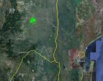
Larger image (new window) Download KMZ/KML File (right click, save as) |
Satellite Image from MODIS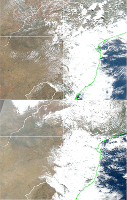
MODIS/Terra larger image (morning) (new window) MODIS/Aqua larger image (afternoon) (new window) |
Satellite ImagesImage Unavailble |
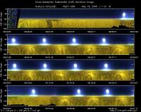
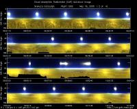
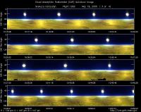
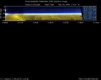
CAR - (QuickLook)
Imagery from CAR Instrument
Click browse image thumbnail to load more detailed version (images open in a new window)
| Flight Direction | Flight Direction |
|
|
|
|
|
|
|
Flight Mission Details
Overview:
This was the 3rd flight out of Nelspruit, South Africa. Preflight goal was to measure BRDF over Skukuza at different heights (2000 and 5000 ft agl) to characterize aerosol vertical distribution.
Flight Path, Timing, and Measurements
Approximate time in UTC (South Africa local time: +2 hours). Activities during CAR flight 1902 on June 19, 2005 out of Nelspruit Airport, South Africa heading south towards Skukuza. Observations by CAR operator/PI, Charles Gatebe.
8:42 -- takeoff.
8:47 -- CAR power on. All systems look normal. Hazy and aircraft speed (130 knots -air and 160 knots- ground.
8:59 -- start BRDF circles. Filter wheel at 1.6 µm.
9:07 -- end of BRDF circles at 1.6 µm. Switch filter wheel to 2.1 µm.
9:10 -- most of the haze above aircraft (2000 ft agl).
9:19 -- end of BRDF circles at 2.1 µm. Switch filter wheel to 2.2 µm. Aircraft has drifted to a different location (1 miles away), which looked more uniform.
9:26 -- Start new set of BRDF circles. Filter wheel at 2.2 µm. Aircraft 10 miles west of Skukuza airport.
9:36 -- end of BRDF circles at 6400 ft agl.
-- ascend 3000 ft and check for distinct aerosol layer.
9:45 -- start BRDF circles.
9:54 -- cancel BRDF circles -- order by Air traffic controller.
10:02 -- resume BRDF circles. Roll angle 19-20 deg.
10:12 -- finished BRDF circles. Count:10194.
10:36 -- finished BRDF at 15500 ft. Count:11300. Descend to 8500 ft msl.
10:46 -- Position for BRDF circles.
11:00 -- Circle 5 at 8500 ft msl. Everything seem to track well. 11:02-- Scan number: 13670. End of BRDF circles.
11:08 -- power off CAR.
11:25 -- landed.
