Flight Time: 01:29 UTC - 05:08 UTC
Data Time: 01:36 UTC - 02:07 UTC
Aircraft Type: NRL P-3
Flight Scientist: Dr. Charles K. Gatebe
Flight Number: 2062
Mission Location: Lexington Park, MD., Colorado Springs, CO.
Lat/Lon Coverage:
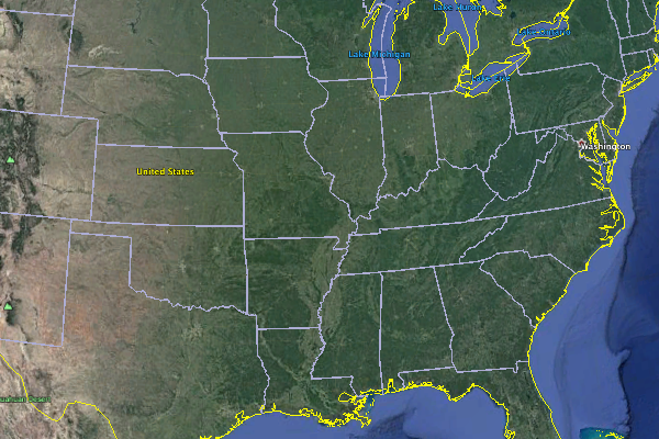
This was the transit flight from Navy Research Laboratory (NRL), Lexington Park, MD to Peterson Air Force Base (AFB), Colorado Springs (KCOS), Colorado. The P3 aircraft took preliminary measurements over the Chesapeake Bay mainly for the purpose of calibration of SnowSAR. It was a late evening flight mostly under dark conditions. Key instruments include:
• Cloud Absorption Radiometer (CAR from NASA/GSFC) for Bidirectional Reflectance Function (BRDF) measurements
• SnowSAR (Snow Synthetic Aperture radar) - a dual frequency (X- and Ku-band) from MetaSensing, Netherlands - Radar (volume scattering).
• Quantum Well Infrared Photodetector (QWIP) infrared imaging camera system from NASA/GSFC - records IR images of target sources in the 8-10 µm band.
• Thermal infrared non-imager from U. Washington, Seattle. Has IR sensitivity in the 8-14 µm range.
• Video camera from GSFC
Only CAR and SnowSAR were turned on.
Approximate time in UTC (Maryland, -5 hours). Activities during CAR flight 2062 on February 15, 2017 out of NRL Lexington Park, MD Airport. Observations by CAR operator, Rajesh Poudyal.
00:04 CANS data Started (19:04 Local time)
01:29 take off
Late evening flight, dark condition outside
01:35 CAR on
01:36 Door open, Very low signal ~ noise level
01:40 FW on
01:42 over water
01:51 Imaging mode
Data very close to noise.
02:07 Car data Stopped, collecting CANS data.
05:08 Land