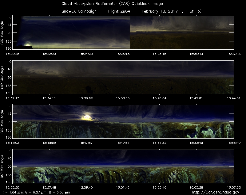
Flight Time: 15:19 UTC -18:56 UTC
Data Time: 15:20 UTC -18:52 UTC
Aircraft Type: NRL P-3
Flight Scientist: Dr. Charles K. Gatebe
Flight Number: 2064
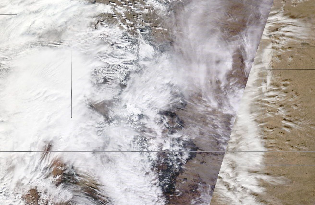
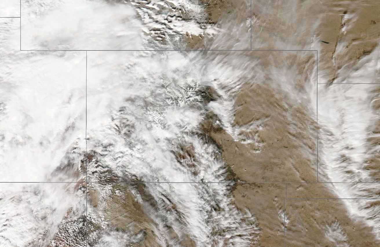
Mission Location: Colorado Springs, CO.
Lat/Lon Coverage: 40.1303° N 38.7734°S -104.600°E -108.301°W
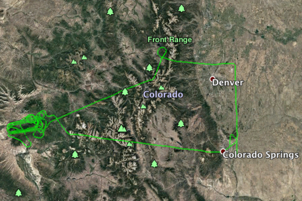
This was the second Navy Research Laboratory (NRL) P-3B flight out of Peterson Air Force Base (AFB), Colorado Springs (KCOS), Colorado. The aircraft took measurements over Grand Mesa and Senator Beck under mostly cloudy conditions. Key instruments include:
• Cloud Absorption Radiometer (CAR from NASA/GSFC) for Bidirectional Reflectance Function (BRDF) measurements
• SnowSAR (Snow Synthetic Aperture radar) - a dual frequency (X- and Ku-band) from MetaSensing, Netherlands - Radar (volume scattering).
• Quantum Well Infrared Photodetector (QWIP) infrared imaging camera system from NASA/GSFC - records IR images of target sources in the 8-10 µm band.
• Thermal infrared non-imager from U. Washington, Seattle. Has IR sensitivity in the 8-14 µm range.
• Video camera from GSFC
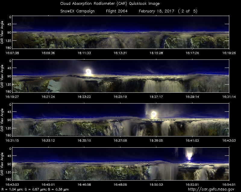
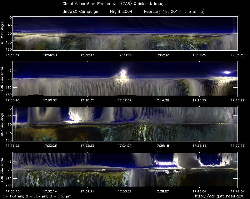
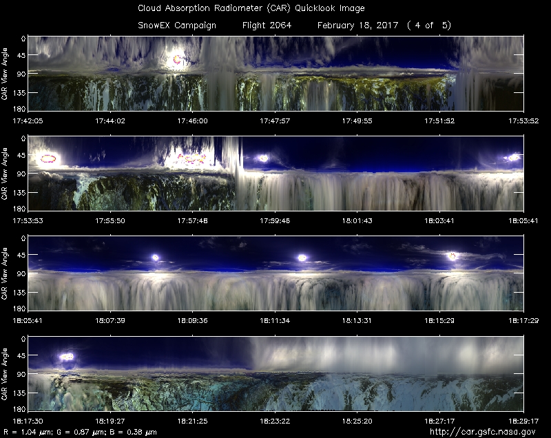
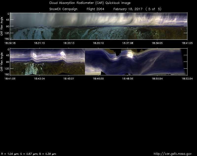
Approximate time in UTC (Colorado, -7 hours). Activities during CAR flight 2064 on February 18, 2017 out of Peterson Air Force Base (AFB) Airport. Observations by CAR operator Rajesh Poudyal, and Kurt Rush, CAR engineer.
14:41 Computers on, CANS system on
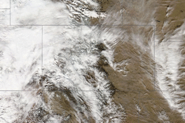
15:08 Aircraft engine on, Mostly cloudy condition outside
15:12 Taxing.
15:19 take off.
15:20 CAR instrument power on
15:21 CAR door open
15:22 scanning sky
15:25 cryopump power on
15:26 Starboard scanning, active roll on. Cloudy dark grey sky, dry barren fields below. FW at 2.1 micron
15:37 Urban area
15:39 FW at 1.6 micron (9 minutes to Fraser forest line), flying over low mountains. Mixed tree and snow
15:44 First SAR point over snow (low signal on ch 8), SnowSAR didn't find target over Fraser forest line, going back to initial Fraser line.
15:54 Completed Fraser line, heading to Grand Mesa. Cirrus cloud above, gradually getting thick.
16:04 over snow and tree covered mountain.
16:06 climbing up to 17500 ft, clouds below, thin cirrus clouds above.
16:09 slow ground speed, thick clouds below, thin clouds above
16:16 215 ground speed, CAR scanning clouds. SAR line
16:22 first SAR line complete, going to second line.
16:23 clouds above and below
16:35 SAR line 3
16:41 SAR line 5
16:58 FW 1.6 seems to have some problem
17:02 Thick cloud below, thin clouds above
17:08 FW showing negative values
17:12 Start of SAR Grand Mesa line
17:15 end of Mesa line
17:19 below thick cloud, over mixed snow, tree1.6 looks stable
17:26 completely under clouds
17:29 only horizon can be seen, thick clouds above below clouds as well. Trees partially covered with snow.
17:32 SAR line 7. 12500 AGL (P3 navigation) CAR navigation shows 3833M
17:38 over Mesa SAR line 1
17:47 going through clouds, start of SAR line 5
17:55 spiraling to go above clouds
18:16 Preparing for CAR BRDF circles, some thin clouds above but mostly clear
2 BRDF circles over clouds. (2000 feet above the clouds)
18:23 Over mountain, tree, rock snow mixed
18:29 transit back to Colorado Springs
18:35 Under cloud transit
18:43 Pikes peak on left side
18:46 scanning up (stop auto correct)
18:52 close CAR door. CAR power off
18:56 Land.