Flight Time: 15:50 UTC -21:25 UTC
Data Time: 15:51 UTC -21:25 UTC
Aircraft Type: NRL P-3
Flight Scientist: Dr. Charles K. Gatebe
Flight Number: 2066
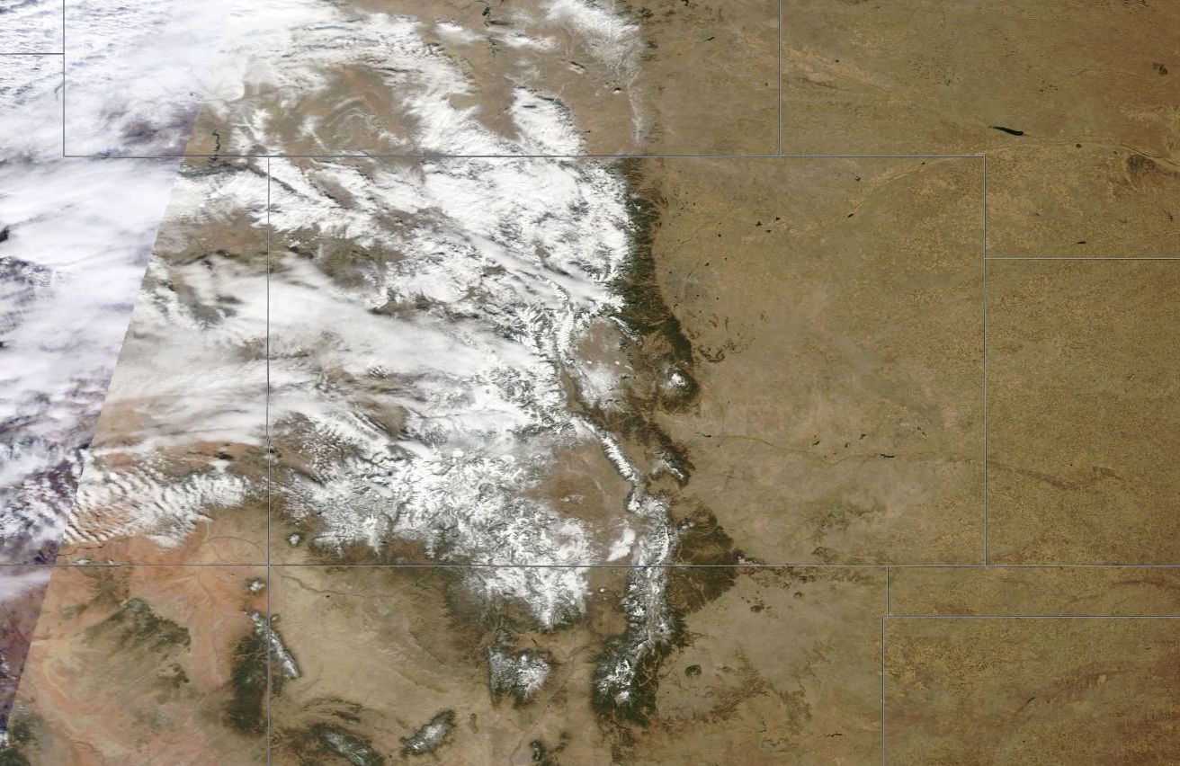
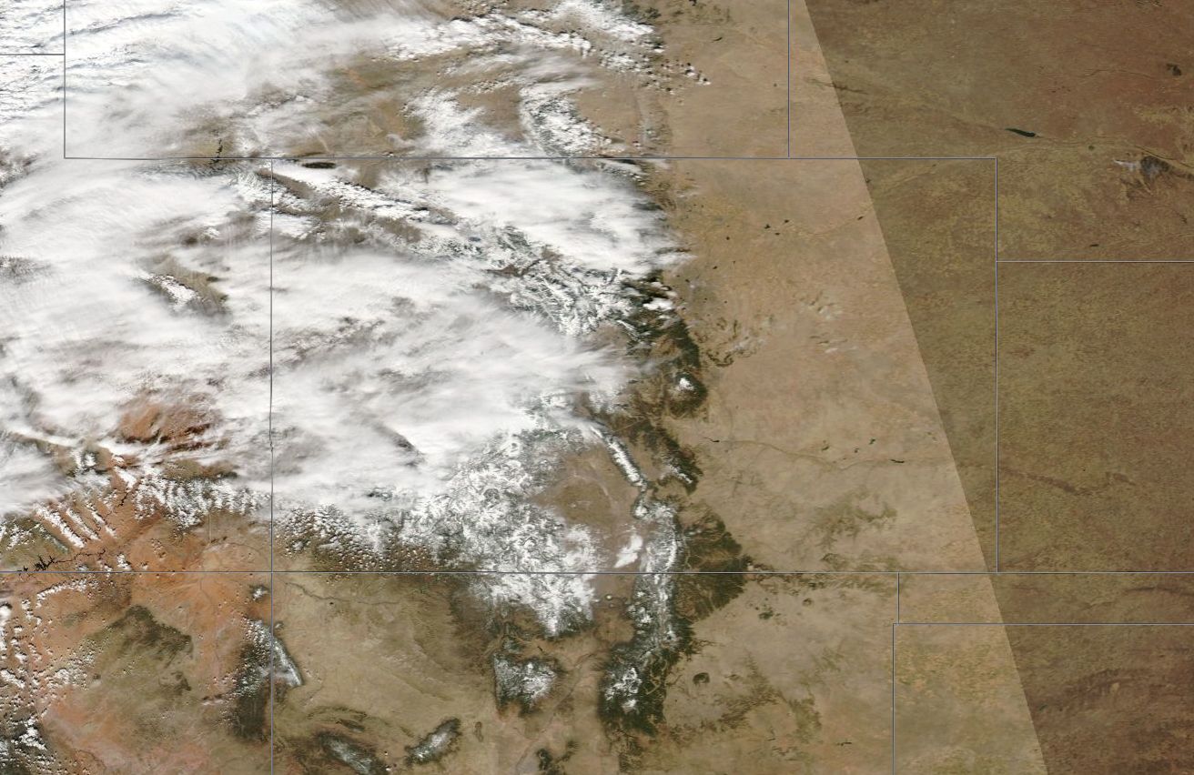
Mission Location: Colorado Springs, CO.
Lat/Lon Coverage: 40.1473° N 38.5652°S -104.490°E -108.390°W
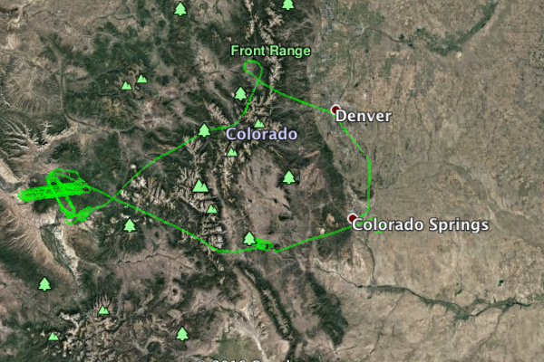
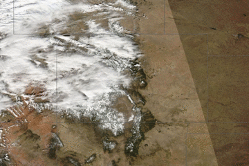
This was the fourth Navy Research Laboratory (NRL) P-3B flight out of Peterson Air Force Base (AFB), Colorado Springs (KCOS), Colorado. The aircraft took measurements over Grand Mesa and Senator Beck under mostly cloudy conditions. Key instruments include:
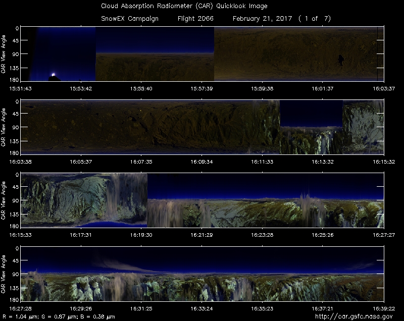
• Cloud Absorption Radiometer (CAR from NASA/GSFC) for Bidirectional Reflectance Function (BRDF) measurements
• SnowSAR (Snow Synthetic Aperture radar) - a dual frequency (X- and Ku-band) from MetaSensing, Netherlands - Radar (volume scattering).
• Quantum Well Infrared Photodetector (QWIP) infrared imaging camera system from NASA/GSFC - records IR images of target sources in the 8-10 µm band.
• Thermal infrared non-imager from U. Washington, Seattle. Has IR sensitivity in the 8-14 µm range.
• Video camera from GSFC
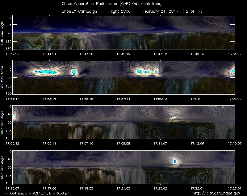
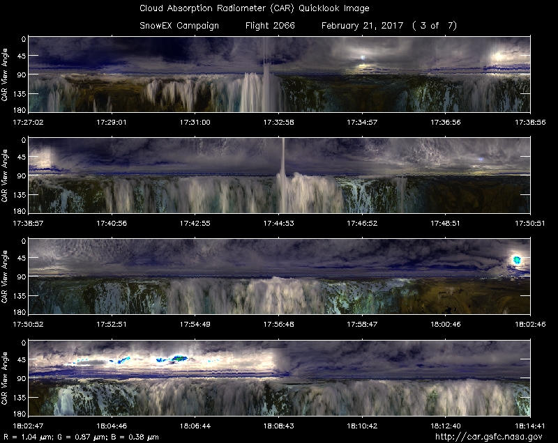
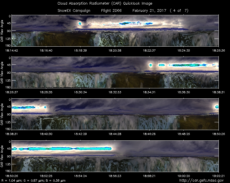
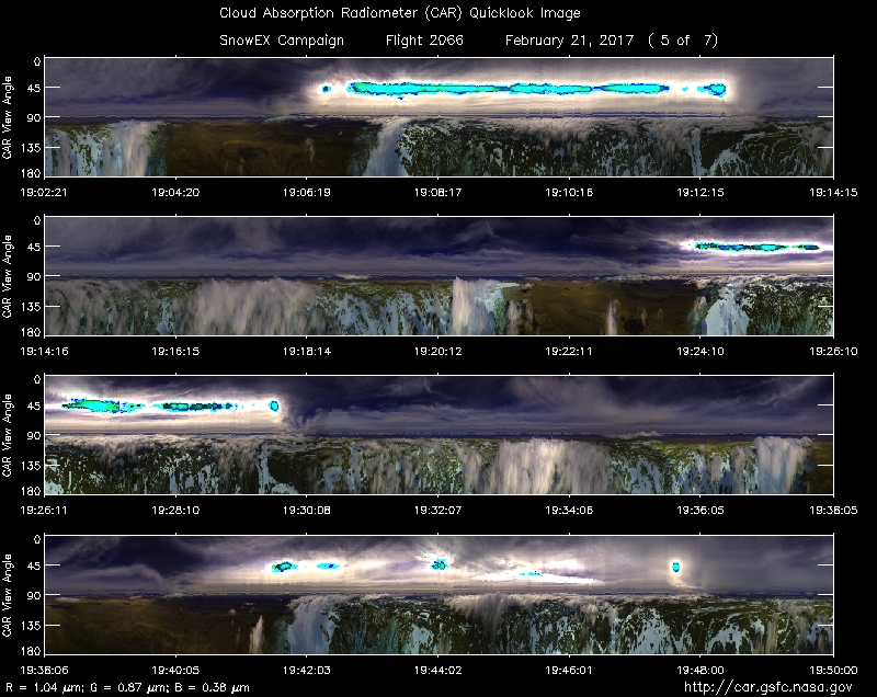
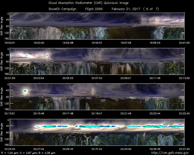
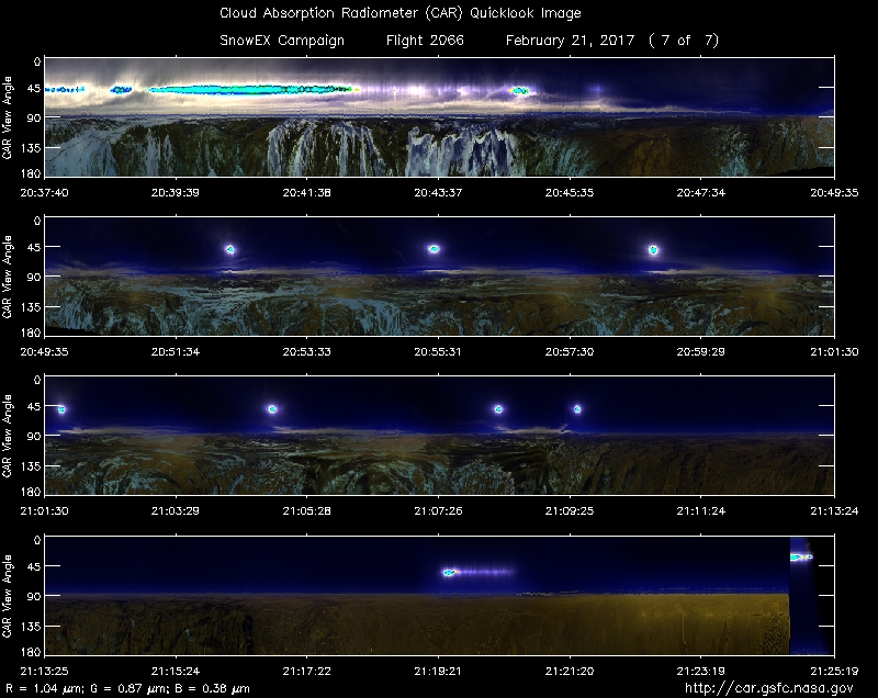
Approximate time in UTC (Colorado, -7 hours). Activities during CAR flight 2066 on February 21, 2017 out of Peterson Air Force Base (AFB) Airport. Observations by CAR operator Rajesh Poudyal, and Kurt Rush, CAR engineer.
14:20 Navigation/Motor / computer on
14:21 CANS data save
15:30 Engine start
15:37 taxi
15:50 take off
15:51 CAR on , door open
15:54 Starboard mode
15:55 FW on
15:58 Imaging mode, clear sky some clouds in the horizon over the mountains
16:03 FW cool down @2.1
16:08 over front range, mix of tree bare soil
16:11 some clouds over mountains
16:14 Imaging over forest/snow clouds, SAR line start
16:19 over clouds, starboard mode16:26 end of SAR line
16:36 thin clouds above snow, tree covered mountains
16:40 roll correct on (was not turned on)16:42 clouds above and below, fw @1.6
17:06 SnowSAR calibration line, cloudy above and below
17:12 Pilots mention they have 3.5 hrs fuel, they came with about 5hrs of fuel. No time for CAR circles.
17:18 SnowSAR calibration line17:23 Missed calibration target, redo calibration line
17:32 Over Mesa calibration line, cloudy condition
17:43 Start of SnowSAR line 16, cloudy above and below .17:50 going out of box to climb up
18:00 end of line 16
18:03 Start of line 8, ground speed 24618:08 lines over Grand Mesa, cloudy above and below
18:11 SnowSAR line 15, ground speed 208
18:16 SnowSAR end of line 15
18:19 SnowSAR start line 7
18:27 SnowSAR start line 14
18:32 SnowSAR end line 14
18:35 SnowSAR start line 6
18:44 FW 2.1
18:48 SnowSAR line 13
18:55 SnowSAR line 2
19:04 Snow SAR line 12
19:07 SnowSAR line 4
19:15 SnowSAR line 11, cloudy above and below
19:22 SnowSAR line 3
19:28 SnowSAR line 10
19:51 SnowSAR line 9
20:00 SnowSAR line 1
20:16 repeat Calibration line
20:20 Finished SnowSAR lines, no CAR circles, clouds all over the place, going back to base
20:50 Looking for BRDF spot, found clear sky condition. Mixed forest, snow, bareground. Start of the 1st BRDF circle. 5500 ft AGL
20:55 start of 2nd circle
20:59 end of 2ndcircle21:02 finished BRDF circle #3, spiral up to 7500 ft AGL
21:09 spiral up complete
21:24 CAR looking up, close door, FW off, CAR off
21:25 land