Flight Time: 20:11 UTC -23:57 UTC
Data Time: 20:12 UTC -23:35 UTC
Aircraft Type: NRL P-3
Flight Scientist: Dr. Charles K. Gatebe
Flight Number: 2068
Mission Location: Colorado Springs, CO., Lexington Park, MD.
Lat/Lon Coverage: 38.9735° N 38.0008°S -78.1139°E -104.738°W
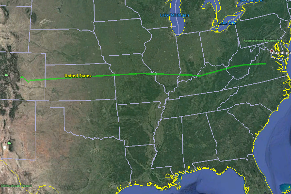
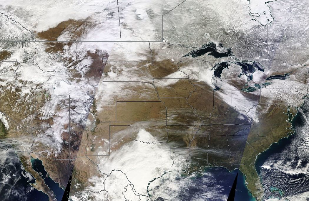
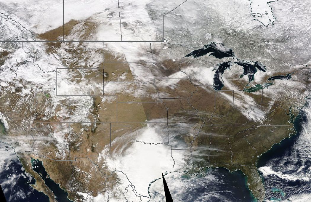
This was a transit flight by the Navy Research Laboratory (NRL) P-3B out of Peterson Air Force Base (AFB), Colorado Springs (KCOS), Colorado to Patuxent River, Maryland. Key instruments aboard include:
• Cloud Absorption Radiometer (CAR from NASA/GSFC) for Bidirectional Reflectance Function (BRDF) measurements
• SnowSAR (Snow Synthetic Aperture radar) - a dual frequency (X- and Ku-band) from MetaSensing, Netherlands - Radar (volume scattering).
• Quantum Well Infrared Photodetector (QWIP) infrared imaging camera system from NASA/GSFC - records IR images of target sources in the 8-10 µm band.
• Thermal infrared non-imager from U. Washington, Seattle. Has IR sensitivity in the 8-14 µm range.
• Video camera from GSFC.
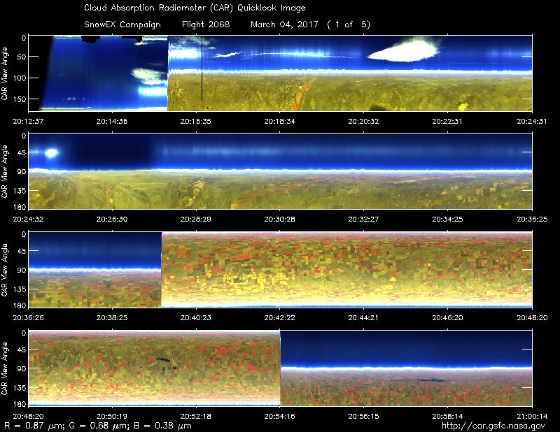
All the instruments were turned off except for the CAR instrument.
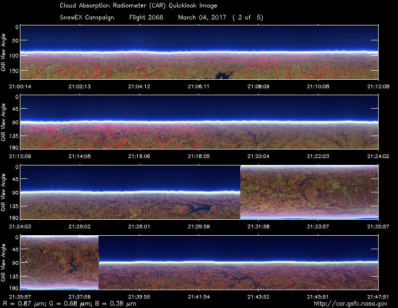
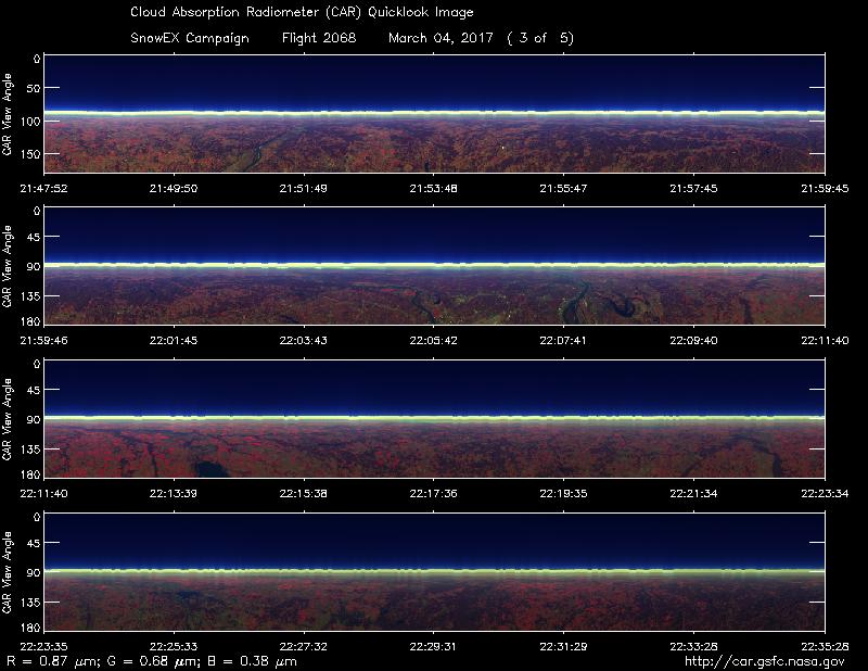
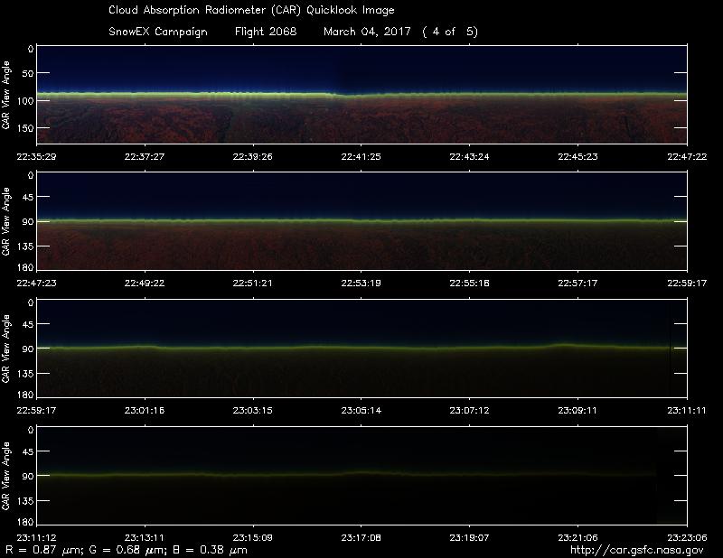
Approximate time in UTC (Colorado, -7 hours). Activities during CAR flight 2068 on March 4, 2017 out of Peterson Air Force Base (AFB) Airport. Observations by CAR operator, Rajesh Poudyal.
19:36 Computer, CANS on
19:40 Test CAR functions
20:00 Engine on
20:07 taxi
20:11 on air
20:12 CAR on, door open
20:14 scanning sky
20:15 FW on
20:16 starboard mode, auto roll on. Scattered clouds
20:23 FW looks ok
20:29 Mostly clear sky, some haze below
20:39 imaging mode, clear sky, hazy horizon
20:43 over Kansas, hazy condition, clouds in horizon, starboard mode
21:36 over Kansas city
22:02 over st Louis
22:08 fw 5
23:02 fw 4
23:10 getting darker, lower signal
23:22 darker condition, scanning
23:27 all ch showing values less than 100 counts, close CAR door, taking some datafor calibration
23:35 Stopped data collection
23:57 land